
Price: upon inquiry
Destinations Visited: Mt Siguniang, Danba, Tagong, Ganzi, Derge, Genyen(,Yading. Minya Konka
Departure: Private Tour / Flexible Date
This is a 24-day hiking adventure tour into the most remote regions of western Sichuan including the snow-capped Mount Siguniang peaks, farming Tibetans of Danba Villages, nomads people on the vast grassland of Tagong, Holy shrine of Dzeogchen and Dzongsar, the remote paradise-like Xinluhai Lake, the furthest place of Dopu Valley, and Tsopu Valley, the lost fairy land of Shangrila - Yading and the Khampa Litang and Kangding. This is a guided private trip starts and ends in Chengdu. Considering the remoteness and authenticity, this is truly a lifetime experience you will have.
Book NowThis is a gound tour. Some days involve long hours of driving and sitting in the car. Please make preparation in accordance including power bank for your phone, neck pillow, etc. Please remember to have a day pack with you to take necessary items for each day's visit, sometimes including packed lunch or snacks for yourself, drinking water recommended 1L minimum, sunglasses, rainproof, warm-keeping clothes and hat, sun block and lip oil, etc. It is also wise to bring rainproof and warm clothes with you all the time.
A 4-hour drive from Chengdu to Rilong at the base of Mount Siguniang. We will start from Chengdu at your hotel in the morning by around 8.00 am and drive towards west into the mountains. The road is in the former earthquake-zone and you may still see the damages on the mountains from the quake in 2008. A new road was finished by end of 2016 and making the driving safer and quicker. We will climb from 500 meters above sea level to a 4000-meter tunnel over Balang Pass and then dive into the valley where Rilong is located. After arrive in Rilong, we will have lunch by a local restaurant and then go to visit Shuangqiao Valley.
We will have the full afternoon visit Shuangqiao Valley of Siguniang. First we will go into Shuangqiao Valley where we start our visit by a bus ride to the end of valley and start the tour. Around you there are many stunning peaks some are snow-capped and some are big walls including Mt. Jianshan, Mt. Yutu, Mt. Se'erdengpu, Mt. Potala, Mt. Abi and many more. We can either use bus to make stops along the valley as other visitors do or we can walk on the less-walked boardwalk along the river and enjoy some quiet time in nature. We will tour down the valley following the river and make 4-5 stops total. If by walking then we recommend to walk the first 3-4 stops total 8-12km where the main views of Shuangqiao are located. The walking will be on well-paved boardwalk on flat terrain with no steep part. Shuangqiaogou Valley is a zigzagged, deep and quiet and the longest valley stretching over 35km. We'll see yaks and forest. By halfway down there is a rafting that we can choose to do. It is also a lot of fun to raft down the calm river for around 20 minutes. Today’s visiti and walking is flexible for acclimating as it is the first day of this trip.
After the visit we will go out using bus and then drive to check in hotel. Rilong is a small town by the base of Mount Siguniang and usually a good stop place for visitors that go further and higher. Rilong is at 3100 meters. When you are traveling to higher altitude places, drink more water and keep warm. Your guide will brief you more on the tips of avoiding AMS.
Driving 4 hours, visiting 4-5 hours; Medium pace
Overnight hotel by 3100m
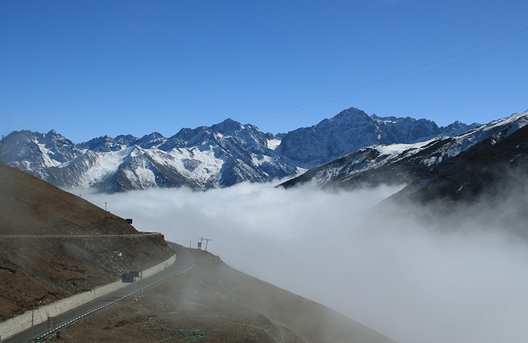
Balangshan View
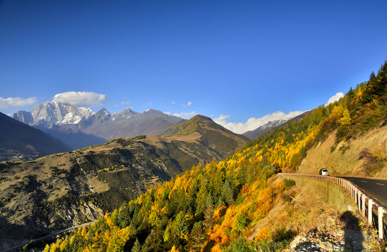
Mt. Siguniang from Road

Mountains in Shuangqiao
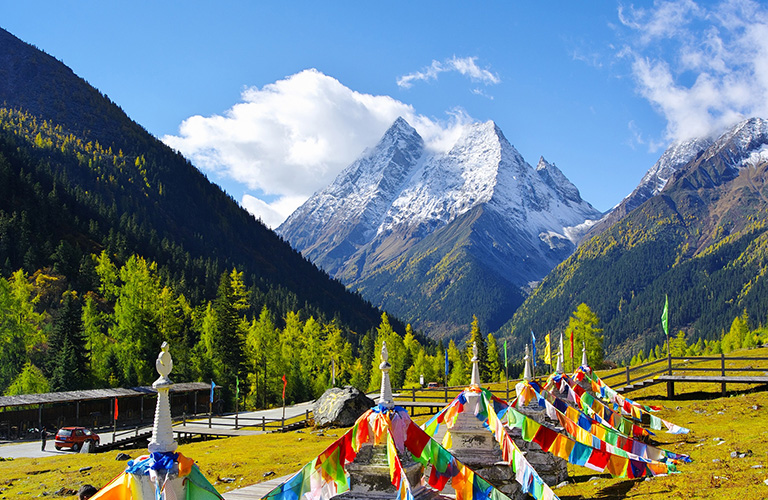
Shuangqiao Valley of Mount Siguniang - Fall
The town of Rilong is also called Siguniang, the same name as of the official park of Siguniang. Today we will start by a 3-hour drive from the base of Mt. Siguniang and arrive in Danba on mountain road in the river gorge.
We will have the afternoon exploring the beautiful and genuine Tibetan Villages in Danba. The village here is built high up on the mountain and their houses are very famous. The local Tibetan Village was considered to be one of the most beautiful villages in China. The houses and watchtowers are their traditional constructions. The local hospitable people are very friendly and kind. We will first have lunch in the town of Danba. Afterwards we will continue to the next village Zhonglu, which will be our overnight place.
After a short drive down to the bottom of valley and then drive up we will arrive in Zhonglu in around 30 minutes. Zhonglu is one of the representatives of the Tibetan villages in Danba. Zhonglu is more authentic and less spoiled by mass tourism. People there work in the farm and orchards. Their houses are unique and beautiful. The villages are located on the sunny slope and composed of over dozens of families. The village bends into the shape of the mountain side: some lower and some higher. Green orchards and colorful houses made the villages here very attractive. We will tour the Zhonglu by walking from the center of village to Photo Spot No.1 to photo spot No. 3, the best photo spot to take photos of Zhonglu. The Hiking in Zhonglu takes around 4-5 hours total.
After the visit in Zhonglu, we will go check in hotel and relax. Time of checking in and visiting will be adjusted accorind to the season and timing to better suit your interests.
Driving 3 hours, hiking 8-10km; Easy pace
Overnight hotel by 2300m

Jiaju Tibetan Village

Zhonglu Tibetan Village
Wake up in the morning mist and breath the fresh countryside air. After breakfast we start from Danba and drive for around 1.5 hours before arrive in Yala Mountain Park.
Today's visit and hiking is mainly in the park of Mt. Yala. Mt. Yala is a recently built up park that is with good road leads to the base of the mountain. After we get tickets from the tourist center we will first use a small park bus to go to the base of the mountain. The bus ride is around 40 minutes. After we arrive the base we can walk up to the lakes by the foot of Mt. Yala where we can see the stunning glacier and the beautiful lake Yala Yumtso. From the base we can also hire a horse to ride up to the lake since the walking up 3km is very steep. We will walk or use a horse from the base by 3750m to Yala Yumtso Lake by 4050m. Yala Yumtso is just located by the base of Mt. Yala, a holy mountain worshiped by local people that is 5820m above sea level. We can see some thick glaciers by its north face. If time allowes we can walk up further to explore two more lakes above Yala Yumtso Lake at 4200m for extra 2.5km by a pass. We gain more open views by the two lakes.
After the visit come back the same way and use park bus to the car park and continue drive to Tagong for another 1h. En route visit Huiyuan Temple if time allows. After arrive in Tagong check in to hotel and have dinner.
The park of Yala is usually not a busy or touristy park. But if you still want to avoid any other visitors/crowds while hiking we can change the hike to a more challenging hiking on the Geda Ridge.
Hiking 6km+; Challenging pace
Overnight hotel by 3800m

Mt. Yala

Above Yala Lake

Bamei
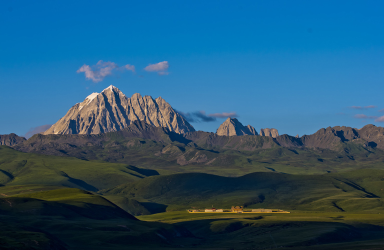
Tagong
Tagong is home to one of the most widely-worshiped Sakya sect monasteries called Tagong monastery. It has an elevation of 3750 meters above the sea level. There is only one 500 meters street goes across this town. At the end of this street is the Tagong monastery and Tagong Grassland. Tagong is an important place for the Tibetan Buddhism. Monastery and religion are fundamentally rooted in people's lives here. In the morning we will fist go to explore Tagong Monastery.
After breakfast we will start by a short car ride to Anigongma Village. The drive usually takes around 10-15 minutes. Hiking starts by visits to the workshop of Mani Stones, Great Pile of Mani Stones, Nunnery and Muya Grand Temple. Piles of Mani stones are another form of prayer in Tibetan Buddhism. At Anigongma there sits the second largest Mani Stone pile in eastern Tibet. The stones are piled up by local devoted Buddhists by hand. It is an amazing site of Tagong. We will also go to have a look of the working nunnery in Anigongma, one of the largest nunneries in Tibetan Sichuan.
After the visits, walk into the valley and elevation rises gradually to over 4000 meters and views become more stunning as the big mountains emerges from afar. On Tagong Grassland we will see Mt. Yala and Mt. Yamu in close range and possibly grazing yaks and nomads tents. Today's hiking is a very pleasant hiking because we will be walking on open grassland with views all around.
Walk on 4000m for the rest of the day before drop down to Dola Gamo to the road and be picked up by your driver and send to your hotel.
Hiking 15km; Medium pace
Overnight hotel by 3800m

Walking Tagong

Tagong Grassland Views

Tagong Grassland Hiking

Tagong Landscape
In the morning if you like you can wake up early to see the Buddhists walking around the Tagong Monastery or maybe a little walking in the small town of Tagong before drive north words to Ganzi. Today the drive is longer than former days. We will make stops along the way at places of interest. Our first stop is Bamei Moshi Park, or Bamei Stone Forest, a park of land formation that is located 15km north to Tagong. Moshi Park is a cluster of karst landforms and a well-maintained tourist park. We will spend around 1-2 hours in the park before we continue again.
Second stop is Longdeng Grassland by Dawu. Longdeng Grassland is located just by the drive way on both sides. The Longdeng grassland was part of the lengendary King Gesar Epic. At that time, the famous King Gesar once camped here, so the Longdeng grassland was called "Gesartong" by the locals. Tong means grassland. Longdeng Grassland is home to nomadic tibetan people and one of the significant places of Dawu. We will spend around 1 hour here taking photos and short walk to the prayer flags by the side of the mountain.
We will make a stop by the town of Dawu to have lunch before more driving in the afternoon.
In the afternoon before we arrive Ganzi Town we will drive over a pass called Geda where we will have panoramic views of Gangga Mountain Range, a massif of mountains that are over 5000 meters lie by the south of Ganzi Town. After arrival, if time allows, we will go visit Ganzi Monastery in town. Ganzi Monastery is the biggest monastery in this area. After worth, go back to hotel and rest.
Driving 5-6 hours, visiting 3-4 hours; Medium pace
Overnight hotel by 3400m

Moshi Park

Houses of Dawu

Longdeng Grassland

Ganzi Monastery
TGanzi is the name of the town by the north to Gangga Mountain Range. It shares the same name of the Prefecture of Garze (Ganzi). Ganzi is one of the underrated travel places in Sichuan that because it is far that few ever travel here but the views are stunning.
Today we will start by a short drive of around 20 minutes and arrive by Menlo village where we will start our today’s walk. After the village road we will be walking alongside the river that comes out from the north of Gangga mountains. We will pass by nomads settlement and tents and maybe encounter local Tibetan yak-herding families and go sit down in one of them. The walking is mainly on gradual terrain with no steep part. We will follow the river all the time. With views of craggy mountains on both sides while walking in this wild and untouched valley. Today’s walking is flexible with distance that you prefer and that you feel comfortable with. We will have views of glaciers of Gangga mountains, waterfall and possibly wild animals. We will walk back the same way out.
A choice of a more challenging hike for today is to drive further and then walk high on to the high point on the ridge to gain higher views of more mountains and glaciers. But it is more challenging and more walking this way. You may choose to do either hike for the day.
Total driving1h, walking 10-20km, medium-challenging pace
Overnight hotel by 3400m
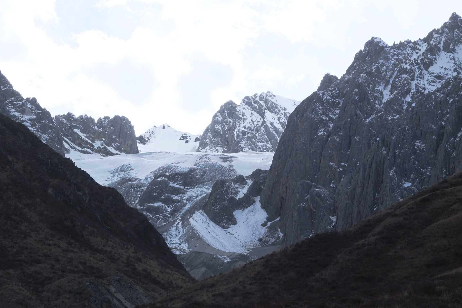
Gangga Glacier
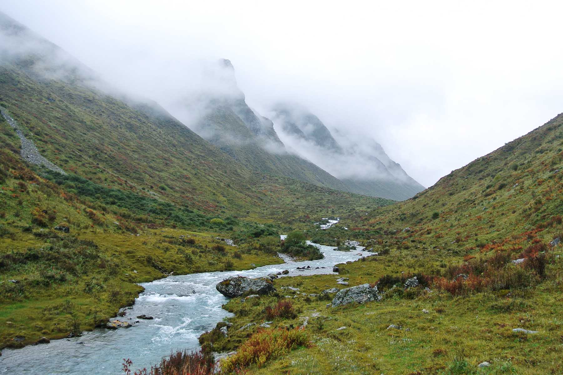
Gangga in the Mist
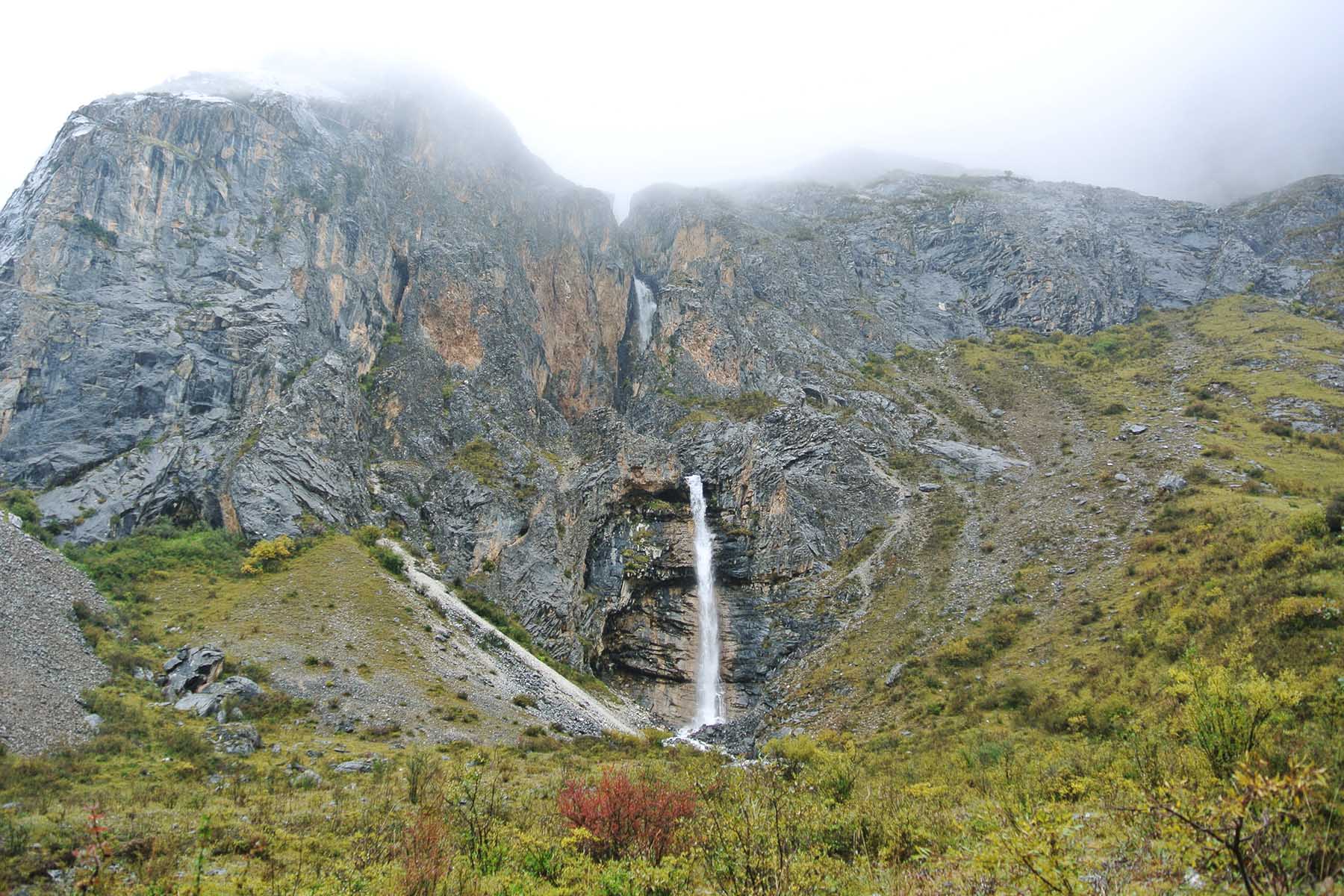
Gangga Hiking
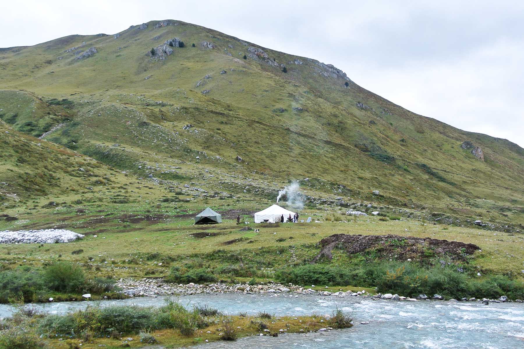
Nomads People
Today is a relaxing day.
We will first start by a visit to Ganzi Monastery, the biggest monastery around this region and a historical place among local people.From the monastery one can have a panoramic view of the Gangga and Kawalori mountains.
Then we will drive into the mountains by Zhuodala road and have close views of the rocky mountains. Most mountains not known to people but are very beautiful. We will drive by the south of the Gangga Range and have really good and open views of the vase highland of this part of Tibetan Sichuan. After around 2 hours’ driving we will arrive a recently built “Red Mountain” park where we will pay a visit and do a short hike inside the park to appreciate the unique red-colored mountains. We will be using the well-paved boardwalks to see this place however if available we may go beyond the boardwalks and explore more by hiking. These red mountains are formed in different heights and some are darker some lighter. Even during busy travel season in Sichuan this place may still be quiet.
After the visit/short walking we will continue driving westwards to Manigango and will be driving on the north side of the mountains for the rest of the day. Before arrive Manigango we will make a stop by Laima, a stop by the side of road where one can have direct and close view of the Gangga north mountains. If you are interested in Tibetan Buddhism we can arrange another visit to the local monastery by the foot of the snow-capped mountains.
Arrive in Manigango and check in to hotel. Please note Manigango has an elevation of 3900m.
Total driving 5h, walking 4-8km, easy-medium pace
Overnight hotel by 3900m
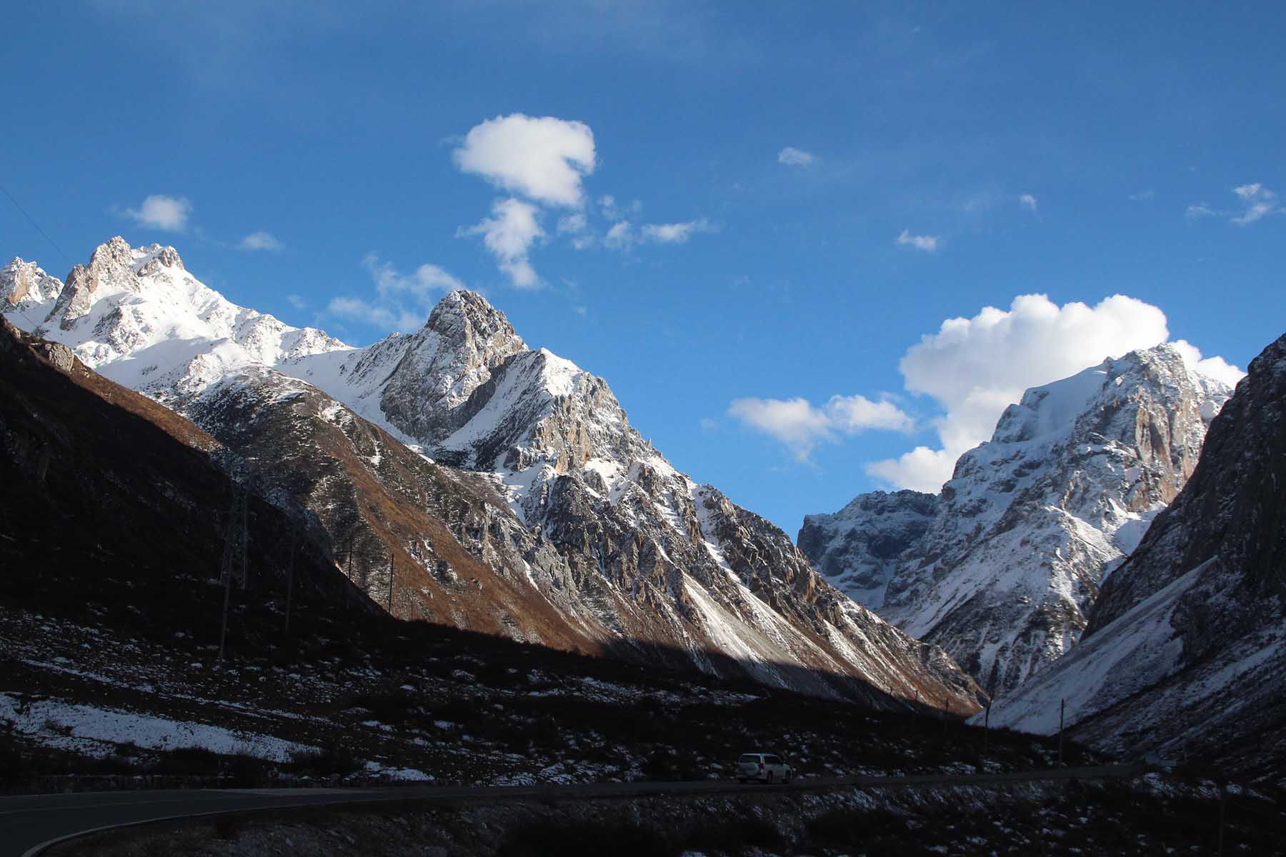
Gangga Mountains
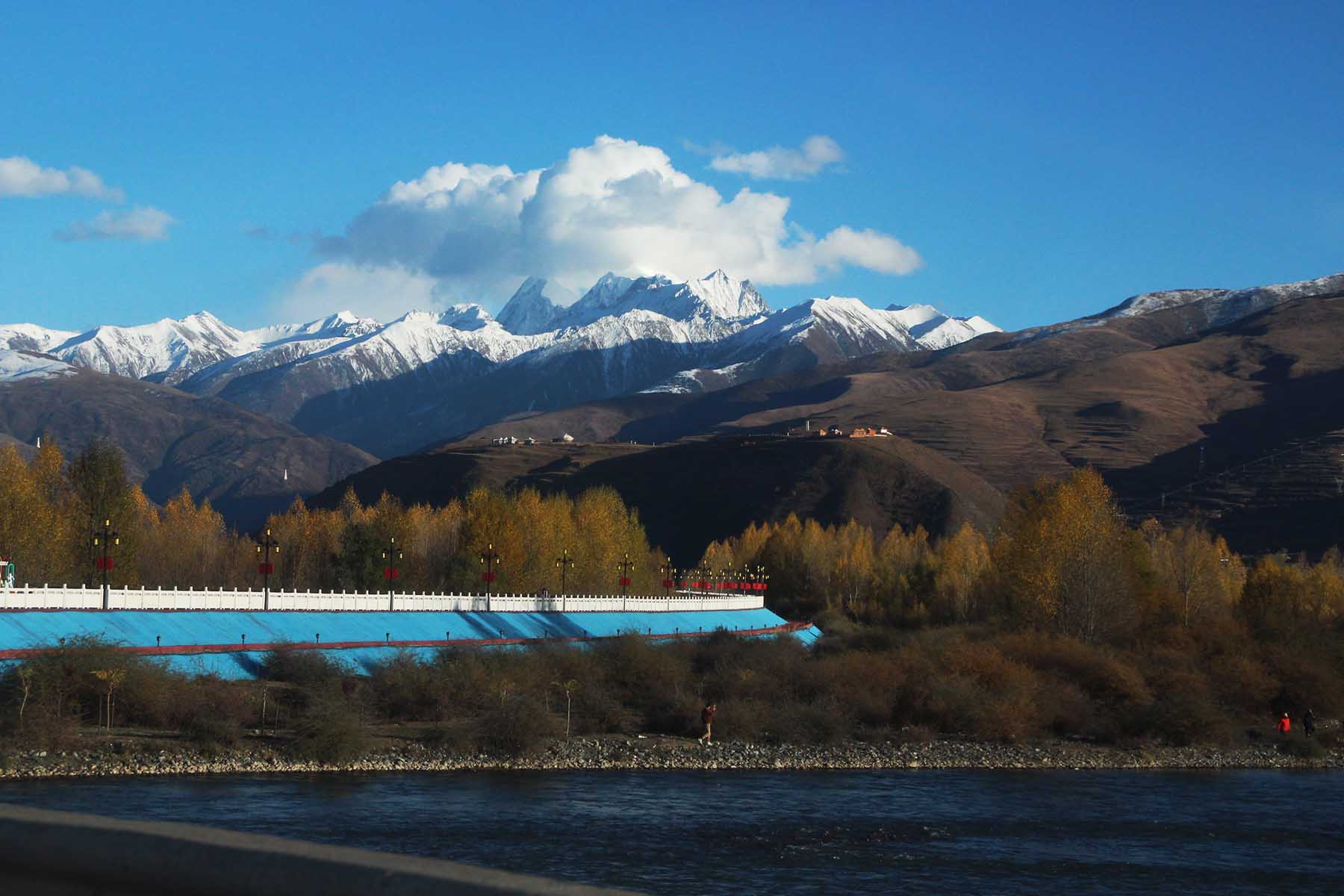
Kawalori Mountains
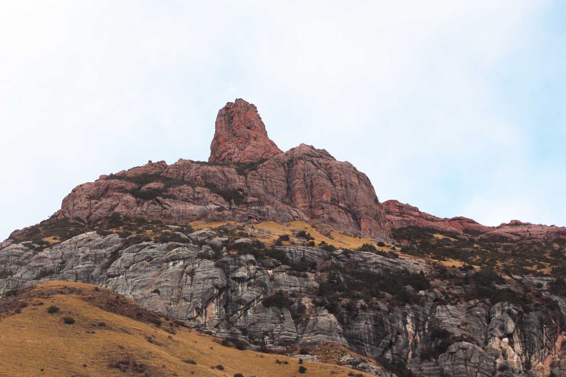
Gangga "Red" Mountains
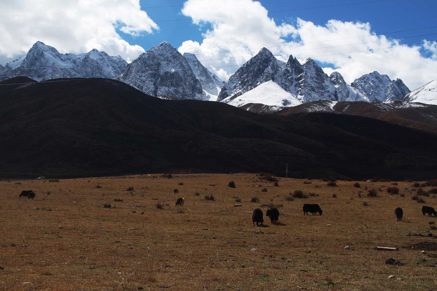
Gangga North
Manigango is a very unique place in western Sichuan. It is a road intersection that connects Derge by the west and Ganzi by the east and Sershul by the north where it connects to Yushul in Qinghai Province. Manigango is not a big place and used to be a small village and had grown into a small town due to modern development and tourism. Manigango still feels like a cowboy town with local nomads selling yaks and riding horses.
Today we will first drive out of town and start our picture-like hiking onto the ridge of lower mountain to have splendid panoramic views of Chola Mountains. The hiking is on the rolling grassland above the village and total around 7km. We will have views of the mostly unclimbed peaks of Chola Mountain Range, of which some mountains don’t even have names. We will see the highest peaks of Dopu Rezha and Ronma Rezha (both above 6000 meters) from our hiking. We will also see the villages of Manigango by the foot of the mountains. We will end our hike by Gentso Monastery.
After the hiking we will drive to Dzogchen and explore the monastery and Buddhist schools there. Dzogchen is a big village of monasteries and thousands of monks live here. Behind the monastery is a cluster of mountains with some covered in glacier.
If you feel like there are too much visits to monasteries then we can use the time to visit Dangzitso Lake and Angtso lake instead. These hidden lakes are well connected to the roads and we can simply drive to these places.
After the visits in Dzogchen we will drive back to Manigango and relax in hotel.
Total driving 2h, walking 8km, medium pace
Overnight hotel by 3900m
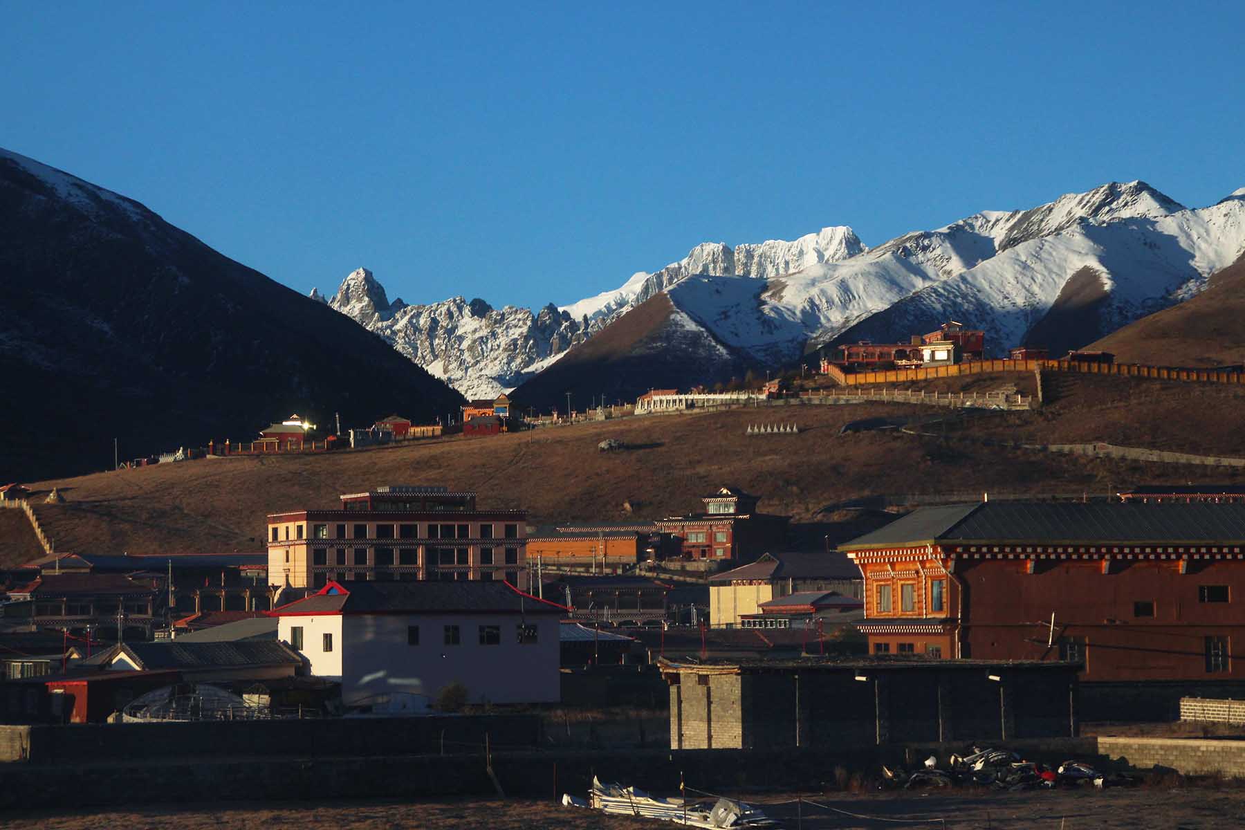
Manigango
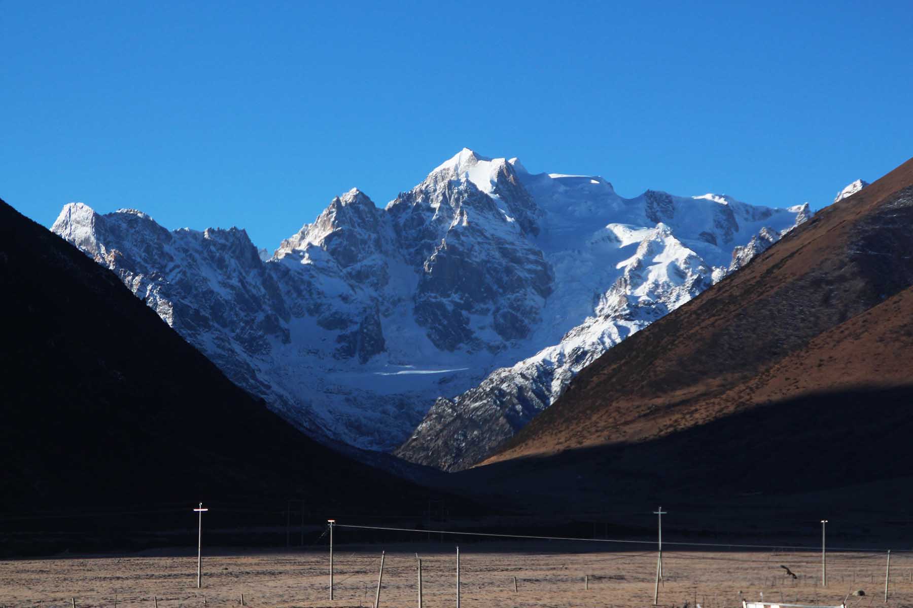
Chola Mountains
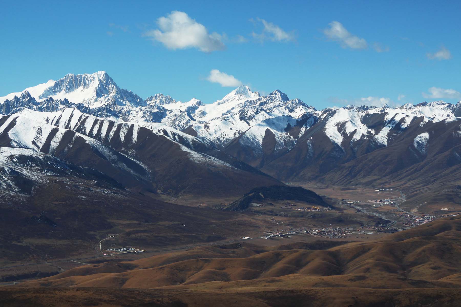
Hiking Manigango
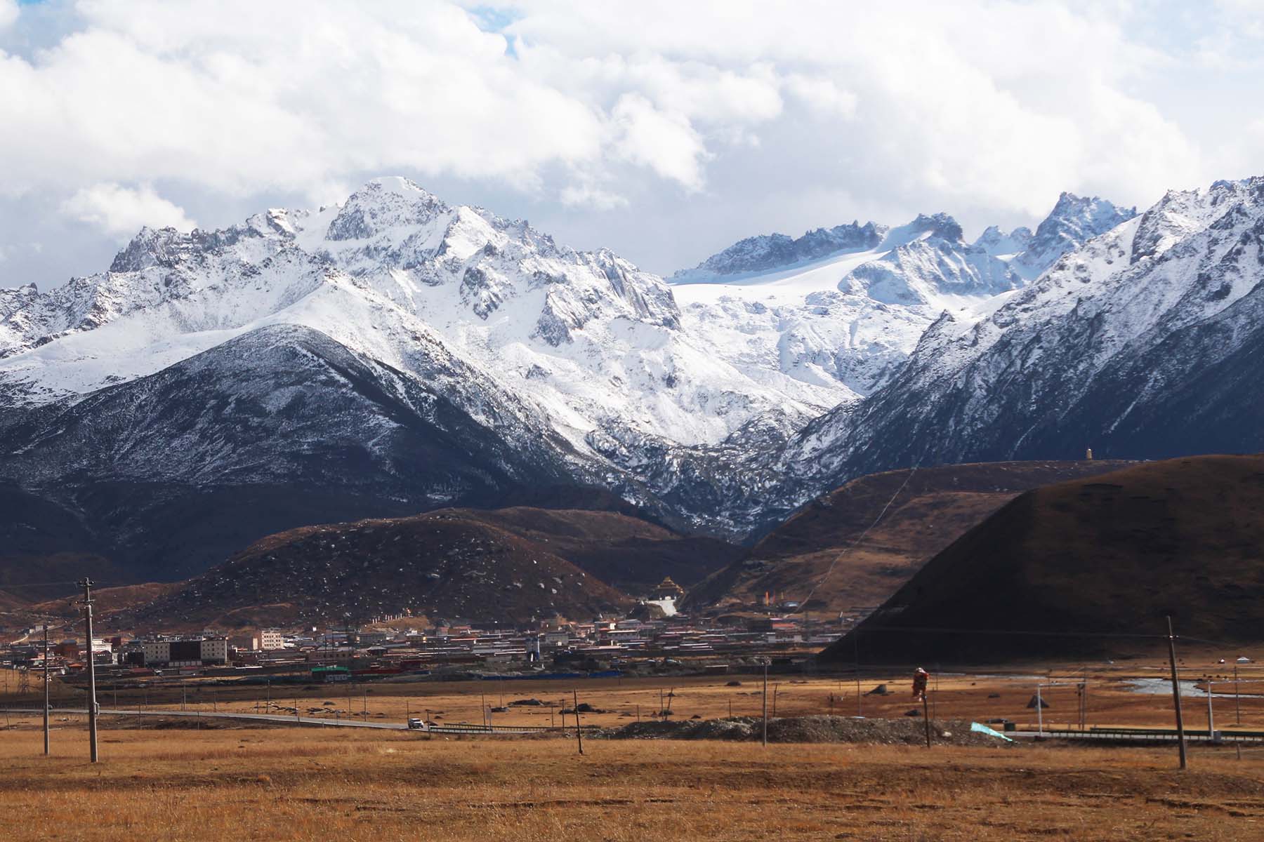
Dzogchen
Today is a full hiking day.
We will start by a short ride of around 20 minutes and arrive Yilun Latso (Xinluhai Lake). We will then start our hiking by the side of the big lake and walk into the forest and on to the yak pasture deep in the valley. Yihun Lhatso is a beautiful and secluded lake by the foot of Mount Chola by the National Highwa 317. It is a lake surrounded by mountain peaks and it is located east to the town of Derge on the east side of Chola Road Pass. Its elevation is about 4100 meters.
The walking is in general mild walking on well-walked hiking trail. The first half of our hiking is mainly on flat terrain but half rocky and half grass. The second half of our hiking is more rocky but okay. We will have great views of Chola Mountains including Ronma Rezha and its side peaks for almost all the way of hiking. Our destination is an open meadow of grassland where the views are amazing. We can extend our hike for another 2km higher to another yak pasture to gain more views. Today’s hiking is rather relaxed and enjoyable. We will go back the same way.
After the hiking we will either drive back to Manigango or continue driving for about 1.5 hour to get to Derge. Derge is a land of historical monasteries. There are so many famous monasteries in Derge that are old and big. Derge is the homeland of Nyingmapa Buddhism of Tibet therefore you can find many Nyingmapa monasteries here including Dzeogchen Monastery, Palpang Monastery and Dzongsar Monastery. The famous Derge Printing school is an optional place to visit if time allows.
Total driving 2h, walking 12+km, medium pace
Overnight hotel by 3900m or 3100m
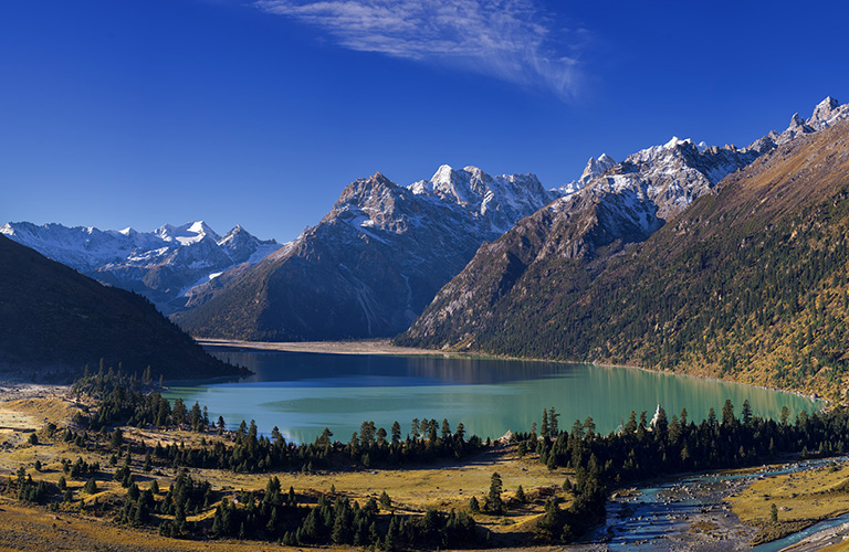
Xinluhai Lake

Chola Mountains
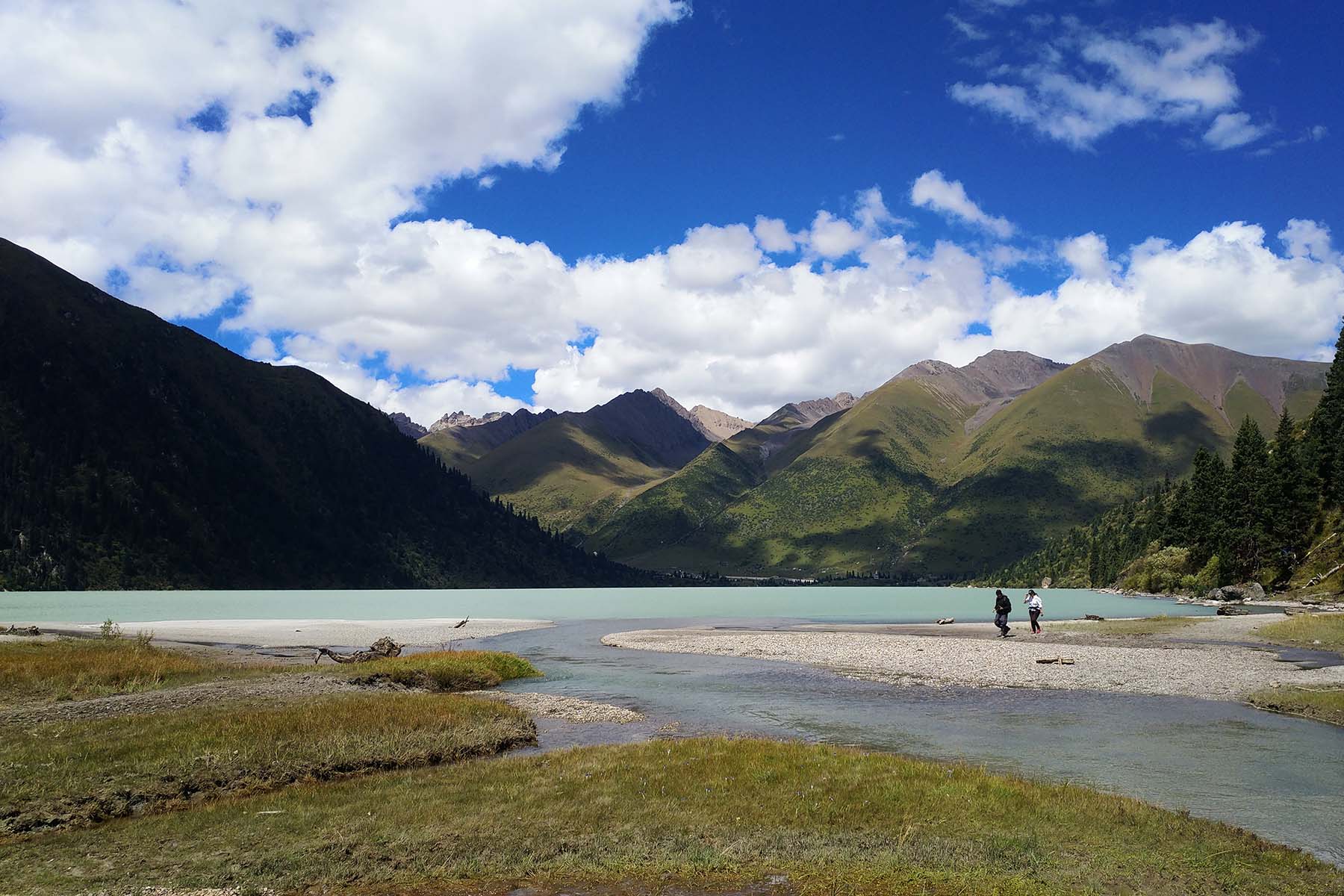
Hiking Xinluhai
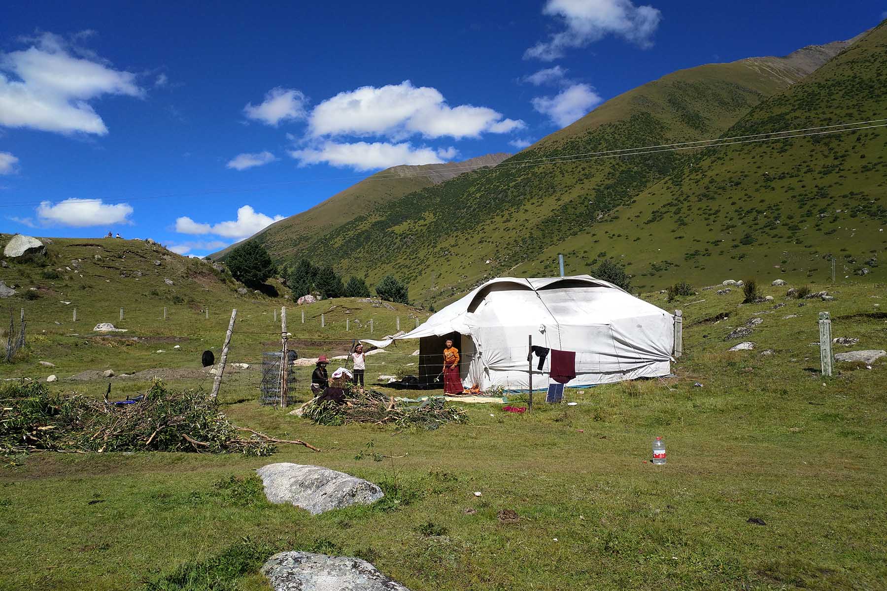
Xinluhai Nomads People
Today we will go into one of the furthest places in China: Maisu.
Maisu used to be one of the furthest places in China to get to from any major cities. It is hidden far from any major roads or towns. Now we have good road connecting to this place. We will first drive for around 2-3 hours to get to the village of Maisu, a remote and beautiful village where the beautiful monastery Dzongsar Monastery is located. From there we will continue on driving for another half an hour and arrive Dopu Valley, the valley that is south to the mountain of Dopu Rezha. You may feel it is almost having the feeling of another totally different world with the old forest in the mostly quiet valley. The 5550-m Is Gyasa Mountain is by the end of the Dopu valley. Today’s hiking will be in the valley with relatively easy terrain following the river. We will have chance to see the mountain of Dopu Rezha (6119-m) and Dzoga Molong (5802-m) as well as Dogya Yelong (5580-m). Our mission is to walk to the confluence by the foot of Mt. Is Gyasa for 7km and turn around the same way although we can continue further on for another 2km to the east valley if time allows. There is a high chance of seeing wild animals in Dopu Valley.
The Dopu Valley hiking is probably one of the most wild and least explored places in Sichuan or even in China. We probably see 100 travelers that will get to the village of Maisu each year while less than 5 of them will actually do the hiking in this valley and 0 will probably hike to the base of Dopu Rezha.
After the hiking we will come back to the village of Maisu and stay here for one night. Please note the accommodation here are own and run by local Tibetan and can be quite basic for some. You are free to walk the village of Maisu if time allows.
Total driving 2-3h, walking 12+km, medium pace
Overnight hotel by 3800m
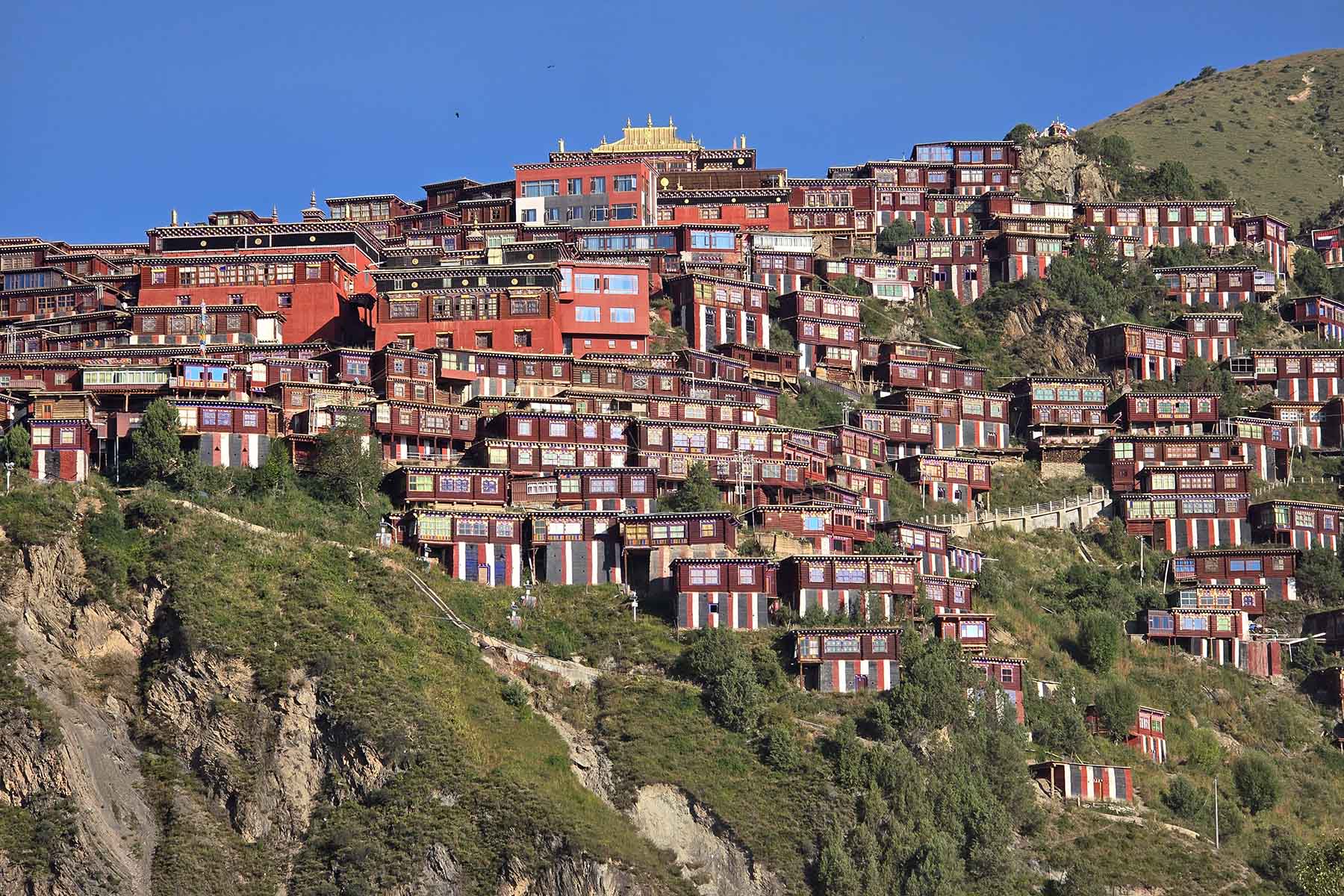
Dzongsar Monastery
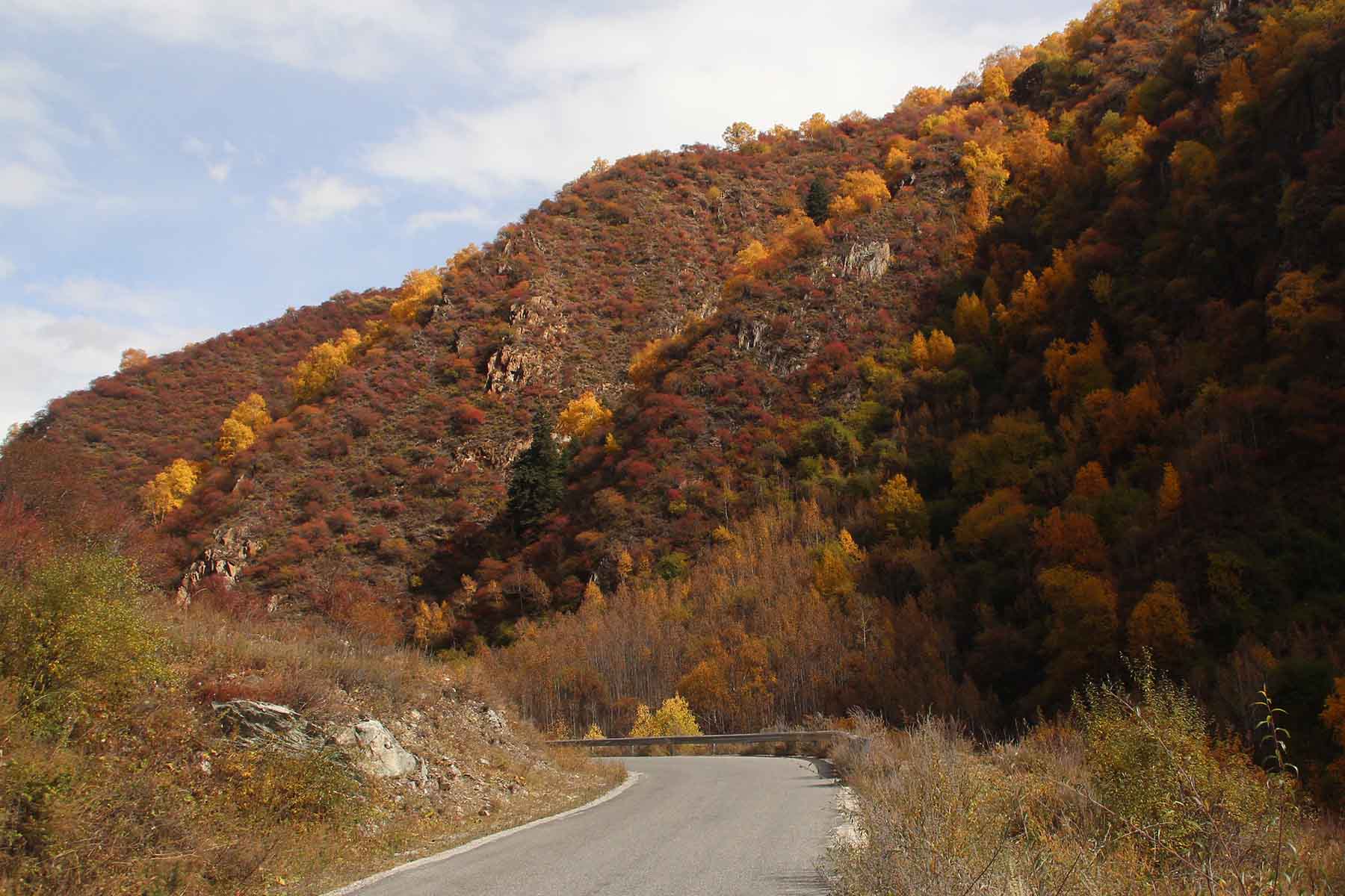
Chola in Autumn
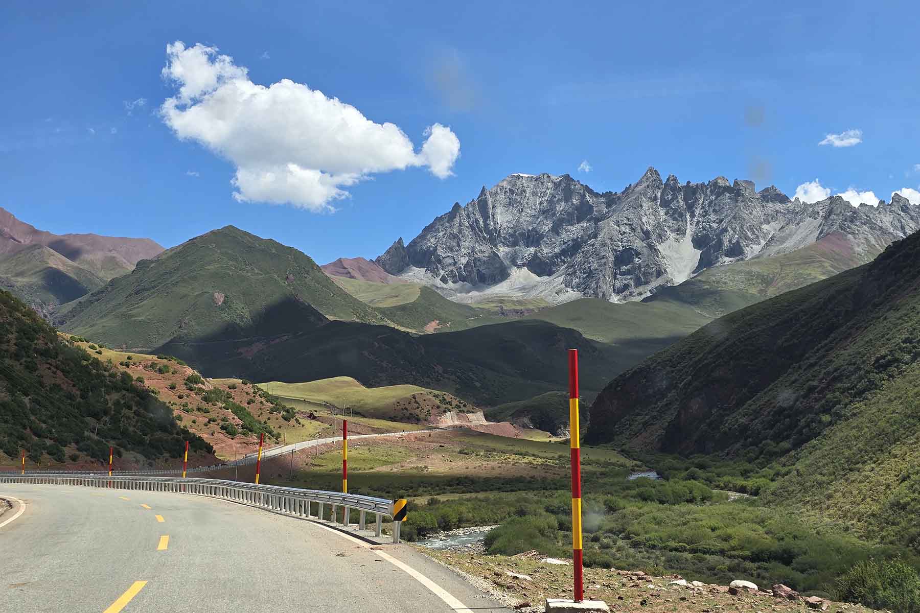
Chola in Wummer
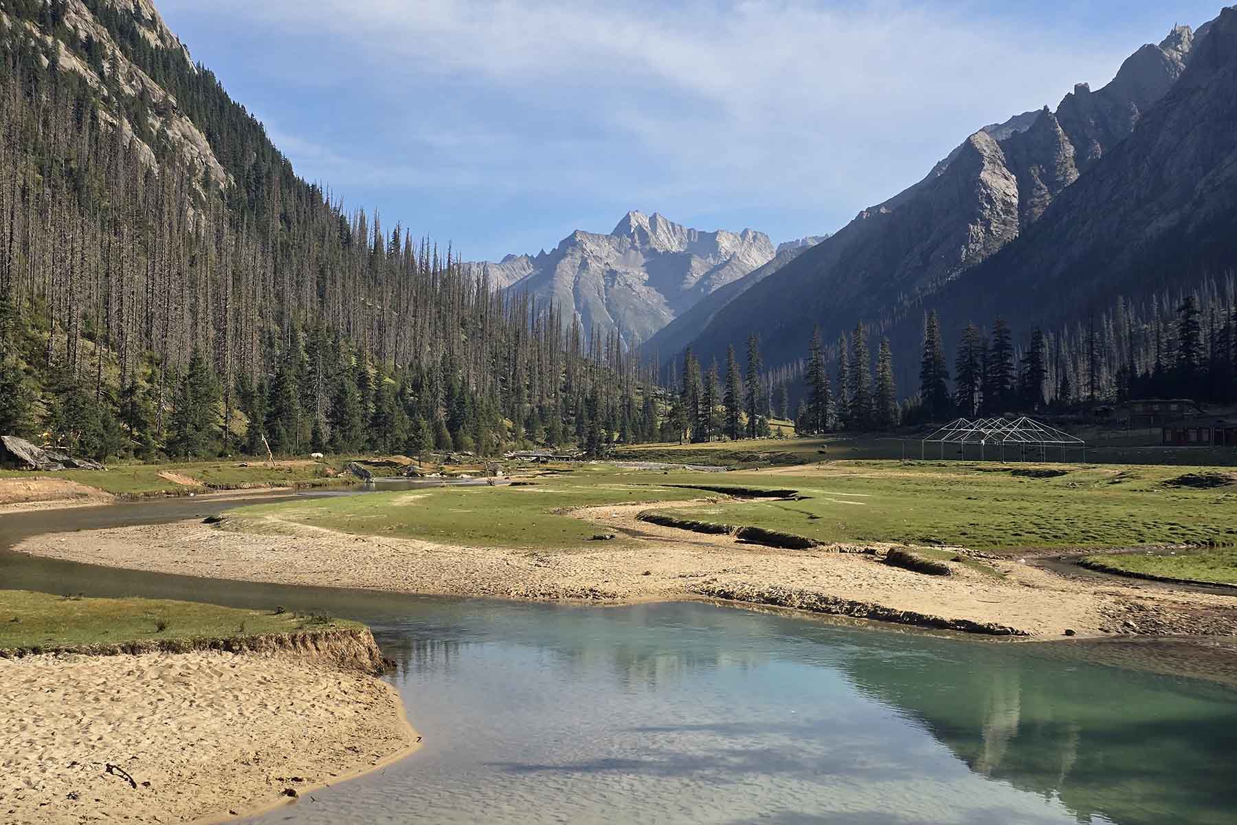
Dopu Valley
Today we will visit three of the most significant Tibetan monasteries in Sichuan: Dzongsar Monastery, Palpung Monastery and Katok Monastery..
In the morning we will first visit Dzongsar Monastery in Maisu. Dzongsar is a Sakya Buddhist Monastery that has a history of over 1200 years. The dorms of the monks are built on the hill side above the village. The temple is by the foot of the hill where there is also a village.
After the visit we will drive to Palpung Monastery first and visit this big complex. Palpung Monastery is a Tibetan Buddhists' monastery first established in 1729 in Qing Dynasty. It is a big monastery in a back-country valley southeast of the town of Dege(Derge). It was built on a mountain platform in the alpine valley. Constructions of Palpung Monastery are immense. Palpung is famous for its knowledge of medicine and painting. Many great painters are from here. It is also a collection of precious paintings and earth statue. We will spend around 2-3 hours time here visiting the temples and walk around the buildings.
After the visit we will drive for around 1 hour to Katok Monastery. Kathok Monastery is the origin of Nyingmapa Monastery of Tibet. It is the very first mother monastery of Nyingma Sect of Tibetan Buddhism. Kathok is also a Buddhist school of Nyingmapa. Kathok Monastery is also called Kathok Gompa by local people. Derge was once one of the three cultural centers of Tibet. Kathok was an important monastery in Tibetan history. The Buddhist School in Sertar is called Larung Gar Wuming Budddhist School, Wuming is 5 Enlightment. Kathok is called Shiming Buddhist School, 10 Enlightment. The complex can accommodate 2000 monks to study. "Nyingma" literally means "ancient," "school of the ancient translations" or "old school".
After the visit by Katok Monastery we will then drive to today’s overnight place in Payul.
Total driving 3-4h, visit 2+2+2, medium pace
Overnight hotel by 2800m
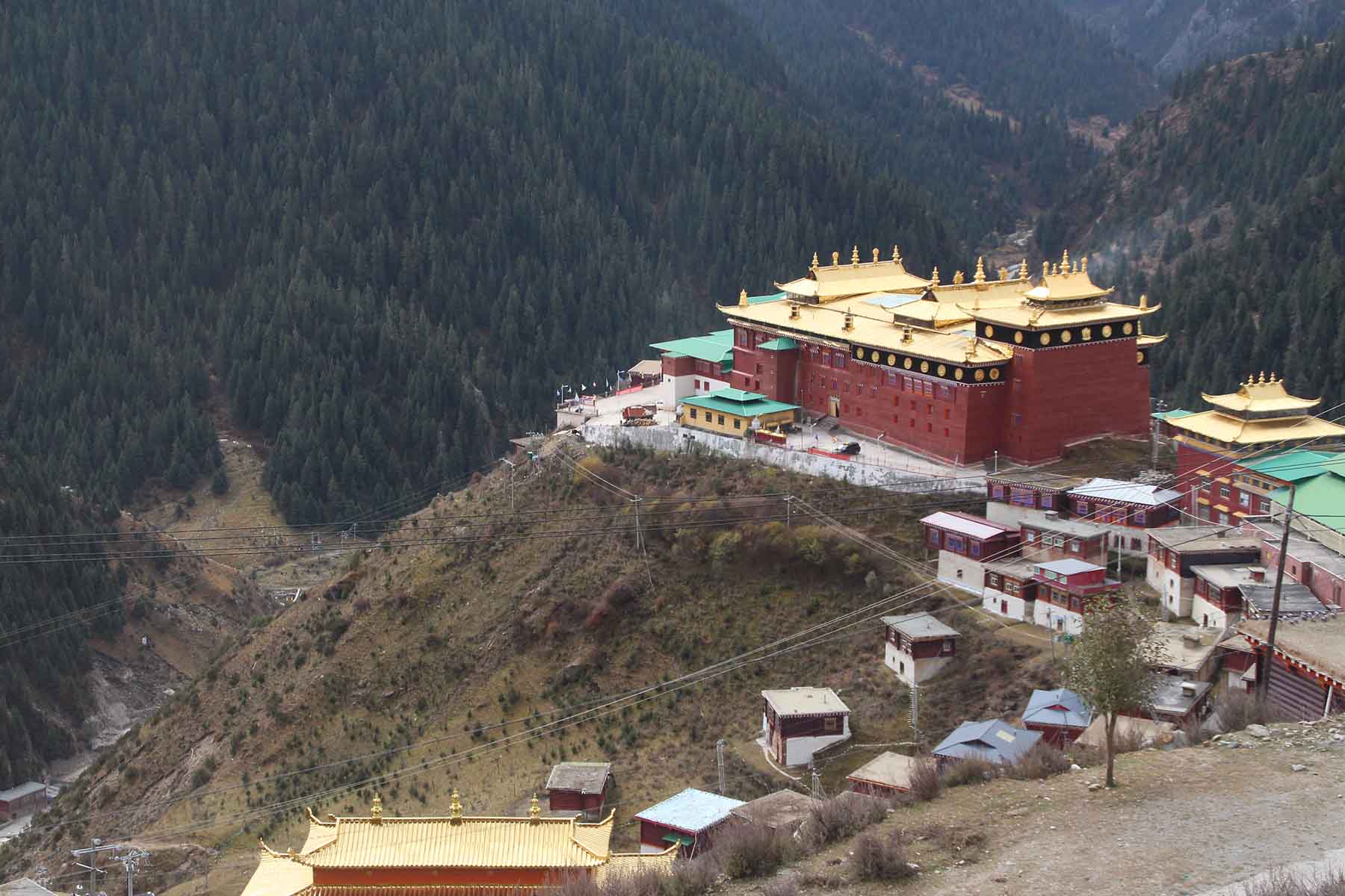
Palpung Monastery
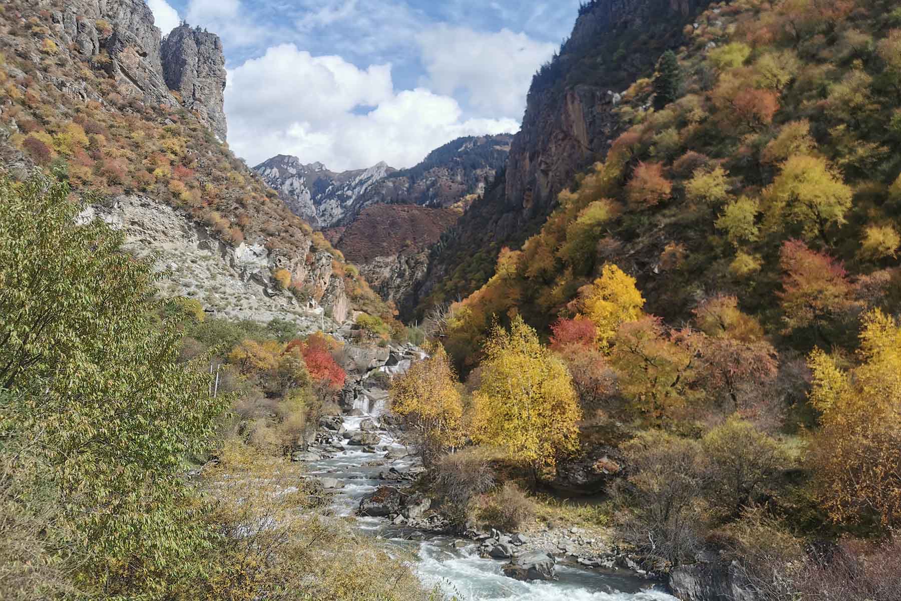
on the way to Palpung Monastery
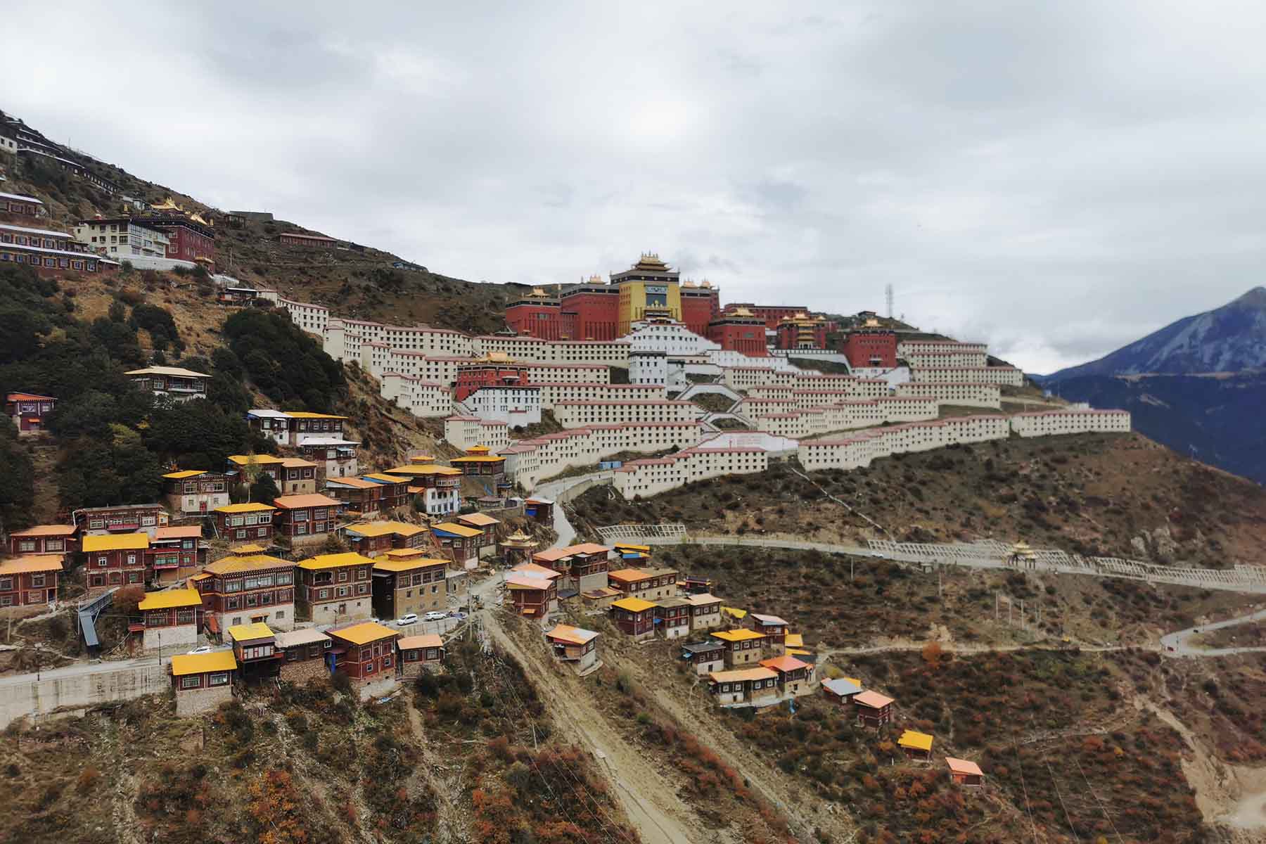
Katok Monastery
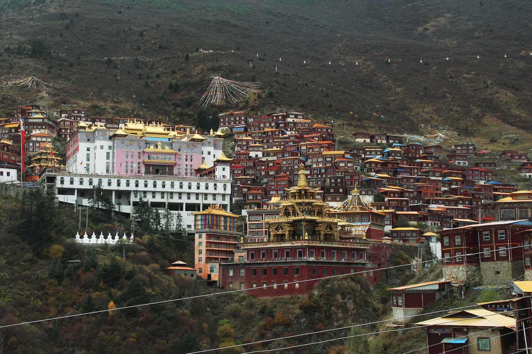
Katok Monastery
Today is mainly a driving day.
In the morning we will first go visit Dzongsar Monastery. Dzongsar is a Sakya Buddhist Monastery that has a history of over 1200 years. The dorms of the monks are built on the hill side above the village. It is good to visit in the morning than other time of the day. The temple is by the foot of the hill where there is also a village. After the visit we will drive for around 7 hours to get to Batang and check in to hotel.
Total driving 7h, medium pace
Overnight hotel by 2800m
Today we will drive for around 1 hour to get to Tsopu Park and do the visit/hiking in the park.
Tsopu Park is also called Cuopugou (Tsopu Valley), or Zhopu Valley, Zhopu Lake. Before 2020 it was a wild valley with monasteries and beautiful lakes and mountains. From 2020 it has been built into a tourist park that an entrance fee is required to visit and has a more organized visiting.
We will drive in to the park. There are stops recommended by the park to make to take photos including Aso Monastery that by 9-10am each day you shall see local monks walking around the temple as morning class. And the stop Zangde Grassland where many think it’s a perfect place to shoot great photos of Tsopu mountains. Tsopu Lake is a holy lake in Kham, one of the few that is related to its legend figure Gesar. Behind the lakes is Tsopu Monastery, a 700-year-old Nymapa Monastery with well-preserved paintings and statues.
Our hike will start after around 40 minutes ride to the base by the monastery and Tsopu Lake. Today’s walking is rather challenging by walking on the former pilgrim trails above the monastery for around 7km single way and ascend for around 500m. The rocky towers of mountains by the north of the lake are called Jarjin Jabo and Jarjin Jamu. The rocky towers are the guardians of the peaceful land of Tsopu. Our hiking destination is the lake at 4600m by the base of Mt. Tsopu (5550-m). After a short stop by the lake we will go back the same way and ride car out of Tsopu Park and then drive back to Batang.
The challenging hiking today can be replaced by an easier hiking on the grassland of Zhangde for around 10km.
Total driving 2h, walking 10-16km, medium pace
Overnight hotel by 2800m

Tsopu Valley

Cuopugou Park
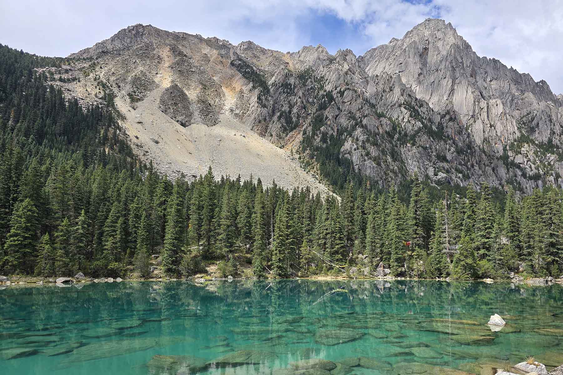
Zhima Yomtso Lake
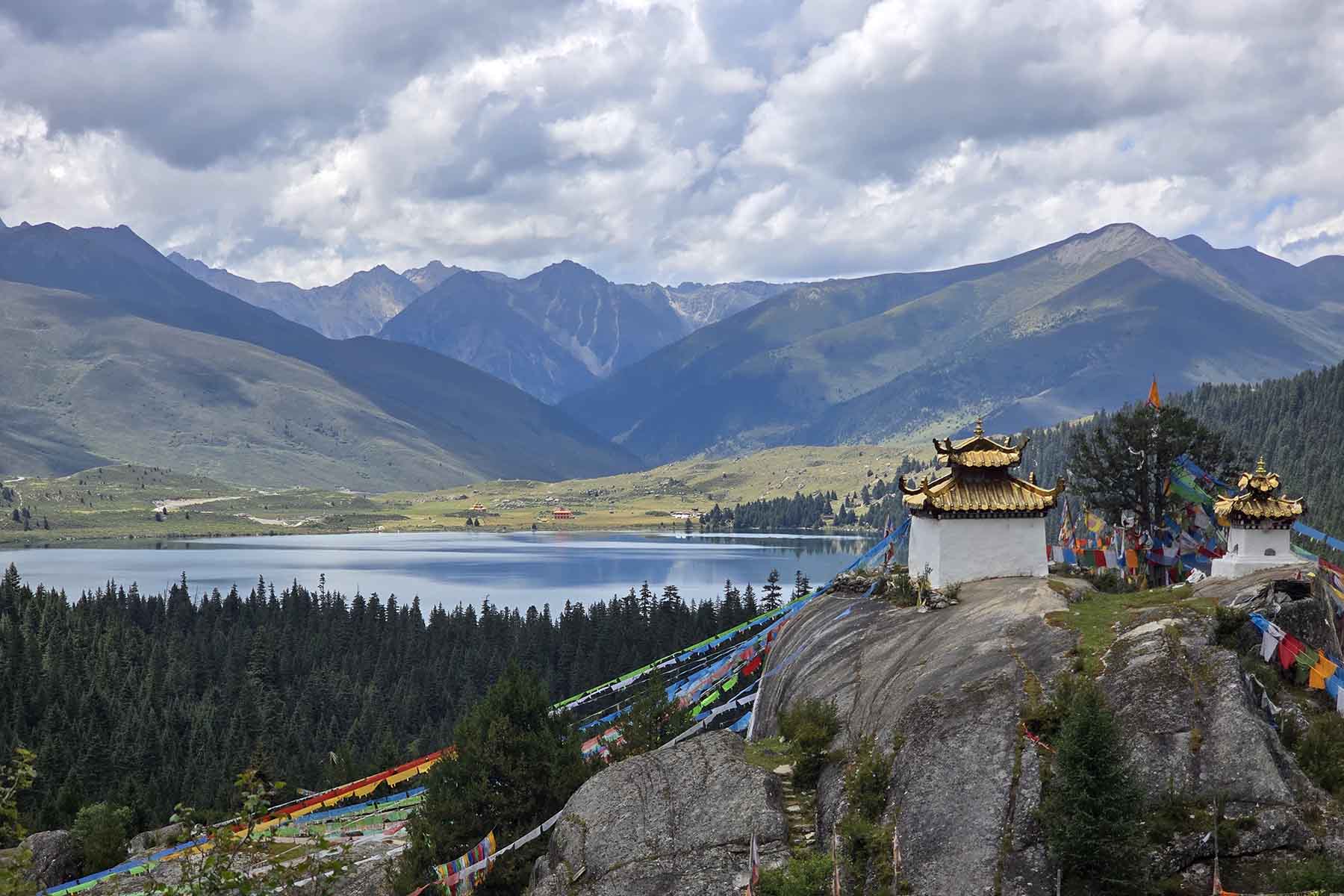
Cuopugou Lake
Today we will drive into one of the most beautiful roads in China to the west and south of Genyen. The drive will be on the newly-built road from Batang over the Yangmolong Mountains and drive down to Gemu then continue on over the pass and down to Retti. From there we will walk an easy 5km to an open hot spring and enjoy the hot spring while looking at the mountains. The walking will follow the winding river. In summer the trail may be cut by water in fall it is dry. You will see wild animals such as wild rabbits, marmots, black-necked cranes and other different birds during today's walking. The walking will be in the open valley of Retti and on flat trail and little gradual ascents. With your right side being Mt. Genyen itself, the highest mountain of this range. While at the hot spring you will see Mt. Xiangba, the third highest mountain in Genyen and also a beautiful mountain covered in snow that is 5965 meters tall. We can continue further into the valley if time allows.
After enjoying the hot spring we will walk out the mountain using the same trail. Then we will drive to the village of Chasongshi for overnight. Today’s overnight place is a guestroom of local Tibetan people. It is very basic by modern standard.
Total driving 3h, stops, walking 10-12km, medium pace
Overnight hostel by 3800m

Sunrise on Mt. Genyen

Retti River

Genyen Kora Trek

Mt. Xiangba
Today we will go explore another valley in Genyen by the south via the Lenggu Monastery.
First we will drive for around 30 minutes to the New Lenggu Monastery and start to walk from there. Walking by the river and follow the prayer flags hung by monks and local Tibetan people and arrive at Rengko Monastery (Lenggu Monastery). There is also an old Rengko Monastery which was deserted and only has a couple of monks there. A stop at the old Rengko Monatery to have a visit before continue on in the valley before we arrive Gunba Pasture after 7km walk.
During the whole hiking we will enjoy the views of several big mountains including Mt. Xiaqiong (the flying eagle) and Mt. Genyen itself and Mt. Hutsa by the east. This part is the core area of Genyen where few have explored. Gunba is a beautiful place on the beautiful meadow by the river junction north to Mt. Genyen. We will have open views of the mountains and valley. Feel free to walk around and take photos. If time allows we can continue on for another 3km to Gapuma where the views are even wilder.
Afterwards we will walk out the same way in this valley and be picked up and drive to Litang for overnight.
Total driving 2h, walking 14-20km, medium pace
Overnight hotel by 3900m

Mt Hutsa

Lenglong Valley

Mt. Dorjecha

Mt. Genyen
Today is a relaxing day from the former days hiking and stress.
We will keep driving south over high mountain passes towards Yading before we pay a visit to Litang Monastery and possibly go check the sky burial site if available.
We will make short stops along the way. First stop is by Haizishan where we will take a short walk to the lake by the side of the road. The landscape here is different than the other days. Haizishan means mountain of lakes. There are total over 1000 lakes located on this highland of Haizishan. Our second stop is by Daocheng where we will have lunch. We will make stops by other two high mountain passes, Tu'er and Bowa. Depending on the season we will also make stop by Banyan Tree Forest, Red Grass Pond, Flower Base.
After arrive in Yading we will check in to hotel and relax. Yading is a tourist place with decent hotels available. We will arrive in afternoon and then just chill and relax to recover and decompress for the next days hiking. However if you wish to not to have it so relaxed then we will arrange the night in the village of Yading.
Total driving 4h, stops, easy pace
Overnight hotel by 2900m

Haizishan Landscape

Bangpu Monastery

Mt. Chenrezig

Yading Village
Today we start from our hotel and use the public bus for around 5 minutes to get to Longtongba and start for our first day's visit to Yading. We will need to stand by one of the bus stops by side of the road and wait for the bus. The buses run as public buses and do not follow on schedule. After Longtongba, the end terminal of bus ride we will need to walk for around 500m up to the golf car station at Chonggu to use the golf car for the second part of drive. The golf car will take us from Chonggu to Luorong Yak Ranch for around 20 minutes. Chonggu is at 4000m and Luorong Yak Ranch is at 4100m.
From Luorong we start to have splendid views of the two of the sacred mountains of Yading: Mt. Chenardorje and Mt. Jampayang. These mountains are about 6000 meters’ tall and this place is well protected to remain its original looking. From Luorong Yak Ranch the hiking starts. It is total around 5km necessary walking from Luorong to Milk Lake and 5-color Lake. The first half of the 5km can be replaced by a horse-ride. Please note the horses are not always available during busy season. If we want to use horse we may need to go there as early as possible during busy seasons. Although the most challenging walk of the 5km is the second half where the horse can't go. The first half is mainly flat and easy to walk. The second half of the 5km is the challenging part because it is going up including some steep sections. A lot of visitors turn around by the steep part due to the high altitude and difficulty of walking. Normally from Luorong walk to Milk Lake takes around 3-4 hours.
Milk Lake and 5-color Lake are the highlights of Yading. We recommend you to try to start early and have yourself well-acclimated before your Yading visit to try to avoid giving up halfway. After Milk Lake you can keep walking to Wuse Lake, a bigger lake that is 100 meters higher than Milk Lake. And if you are a fit walker and if time allows, you can even walk to the Songduo Pass, which is by the end of the valley and the highest place of the park at around 4600 meters where you can overlook Milk Lake and the mountains. We recommend you to go to Milk Lake first then switch back to 5-color Lake since this way is less steep while walking up. Walking back usually takes less time but during steep part and ice season one should also be careful on the hiking trail.
After we walk back to Luorong we use golf car to get back to Chonggu and then use park bus to go back to Yading Village.
Please note this day is the most challenging day of visiting due to its long walking and big ascent on high altitude. We recommend you to prepare properly for today's visit including one warm jacket be it either windbreaker, down or other clothes and carry it with you even when it is not cold or windy that you don't need at the beginning. We also recommend you to carry a rainproof be it either umbrella or raincoat. We also recommend you to bring warm hat, sunglasses, pants and other clothes that can withstand temperature drop to below 10C(Summer) and 0C (Autumn and Spring). Note this is crucial for your safety according to our experience.
Driving 1 hour total, visiting 7+ hours; Strenuous pace
Overnight hotel by 3950m

Luorong Yak Ranch

Yading Autumn Color

Milk Lake

5-Color Lake

Above Milk Lake

Milk Lake in Summer
Today is mainly a driving day and we will start to go back to Chengdu from this day.
Today is a long day of driving. We will start from Yading by the base and drive to Xinduqiao via Daocheng. Daocheng is a small city with an elevation of 3800 meters. We will make multiple stops along the way by the famous stops on the popular 318 highway including Kazila Pass, Jianziwan Pass. We will arrive in Xinduqiao where we are going to spend the night. A tourist town at 3400m. In the right season Xinduqiao is a beautiful place due to its golden-color trees.
Driving 8 hours; Medium pace
Overnight hotel by 3400m

Xinduqiao Golden Fall

Winding Road
In the morning we will drive for around 4-5 hours into the west of Minya Konka(Gonggashan) at Tsemed Village and then start to walk up the monastery of Gongga (also called Gongga Gompa).
Most of the hiking is in the shade in forest. Trail becomes wider when we started to see prayer flags. These Tibetan Buddhists prayer flags waft the trail leading us to Gongga Gompa, the hidden monastery of Minya Konka. Read the bilingual "Notice" before head towards the Gompa at the open-air doorway. This Kargyupa monastery has long been a basecamp for Minya Konka expedition teams. Gonga Gompa offers excellent views of Mt. Minya Konka, the eastern-most 7000er, the highest mountain in Hengduan Mountains and the highest of Sichuan Province at 7500 meters. Visit the Gompa temple after arrival if available. Today's walking is not long by can be strenuous. You will have chance to sit by the temple to watch the mountain of Minya Konka especially during sunset when it will turn into golden color.
Total Walking 7km between 3400m and 3750m. Medium Pace.
Overnight shared bunk by the temple by 3750m.
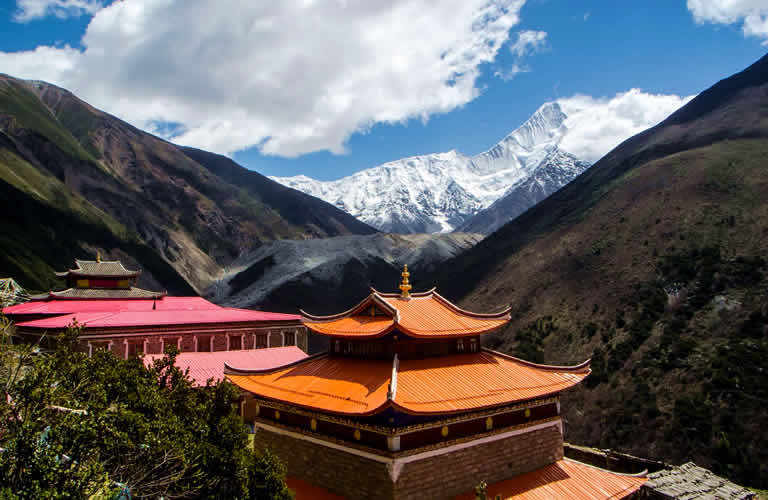
Gongga Gompa

Minya Konka

Minya Konka Mountains

Tsemed Pass
Today is a full day trek to base camp of Minya Konka to gain closer views of Minya Konka and its surrounding mountains and glaciers. Start after breakfast by Gongga Monastery and walk down to the bottom of the valley and start to walk up following the glacier stream. Today's walking is the hardest of all days. The trail is fine but rather rocky. During certain seasons the trail may not be so recognizable since not many come up so far. There are climbers going to Mt. Nama to climb this 5588-m mountain will also use the trail. The first half of the trekking up is steep and on rocky trail. After arriving to the older BC of Nama at 4000m, it starts to become less steep and views get more open. Today's hiking is flexible since it is one way in and the same way out. By 4000m on to the new BC of Nama at 4200 the views are amazing. We will see the snow-capped mountains including Minya Konka itself and the glaciers. After 7km we arrive the Nama BC and have a short break before starting to go back. You are recommended to use walking poles to protect your knees since the walking back is 7km and some sections steep. Today we also have chance to see wild animals including ibes, and we are really lucky we can even see red pandas. After arrive back to the monastery, rest and have dinner.
Total 6-20km , medium pace
Overnight shared bunk by the temple by 3750m.

Mt. Minya Konka

Minya Konka Trek
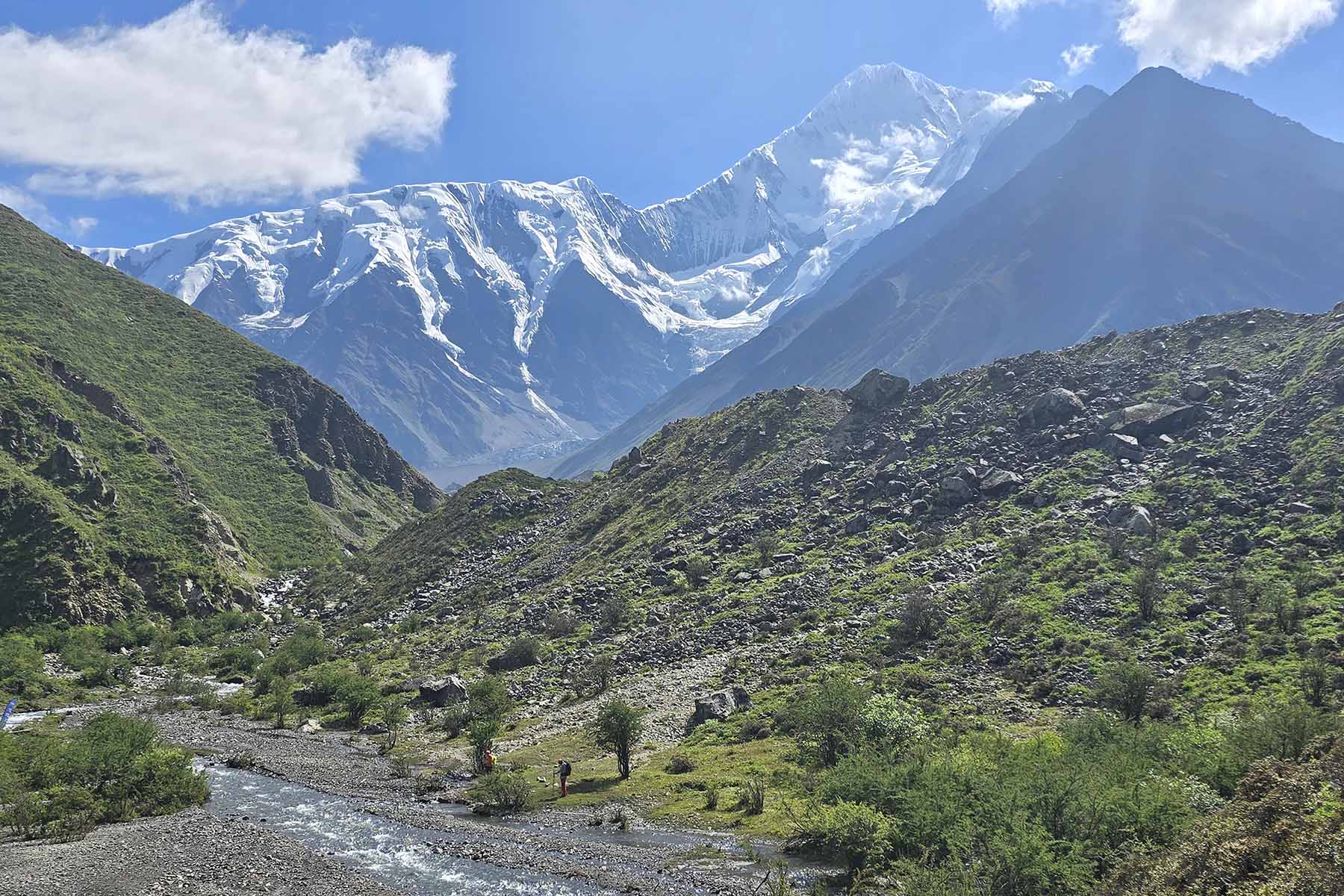
Hiking to Gongga BC
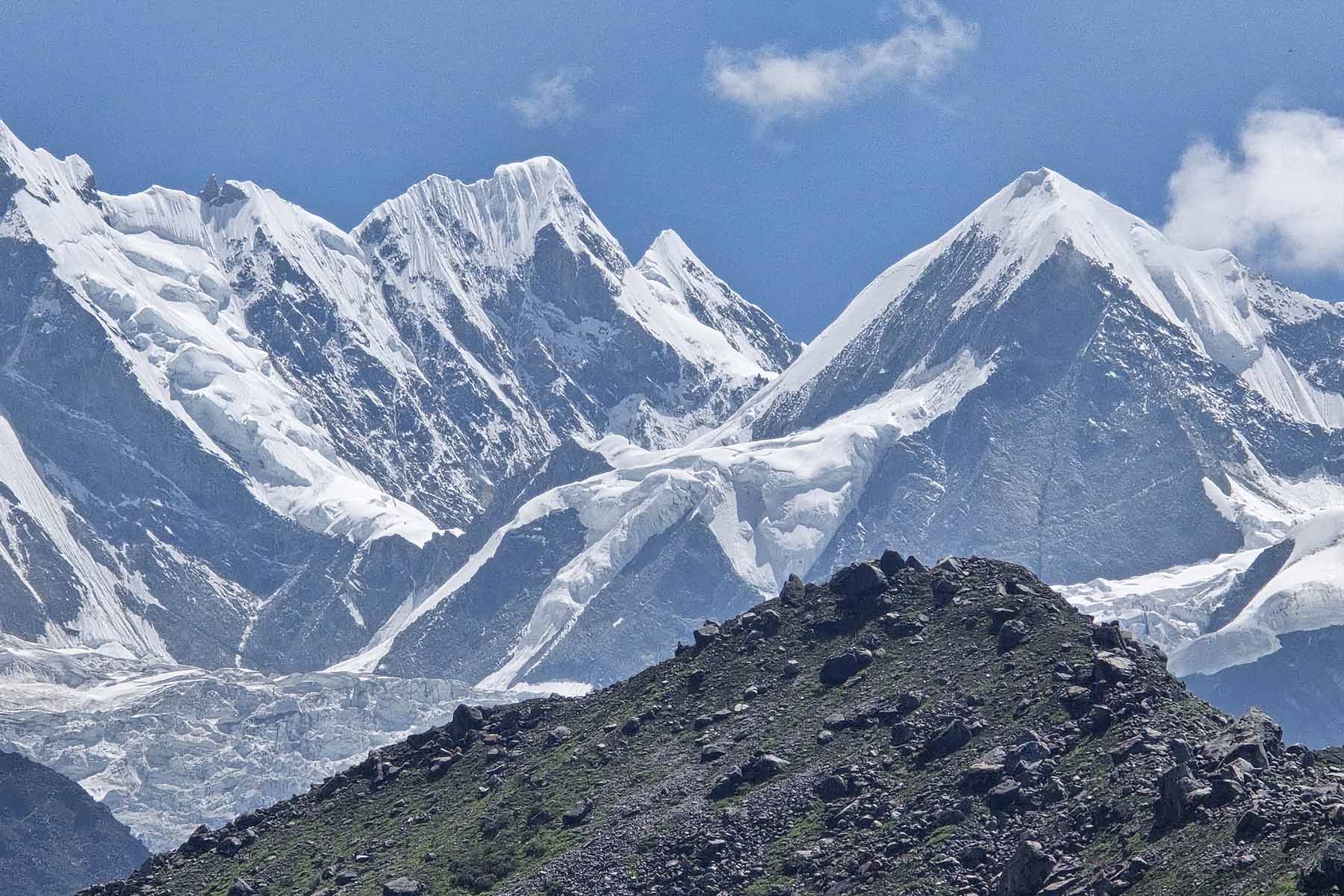
Mountains near Gongga BC
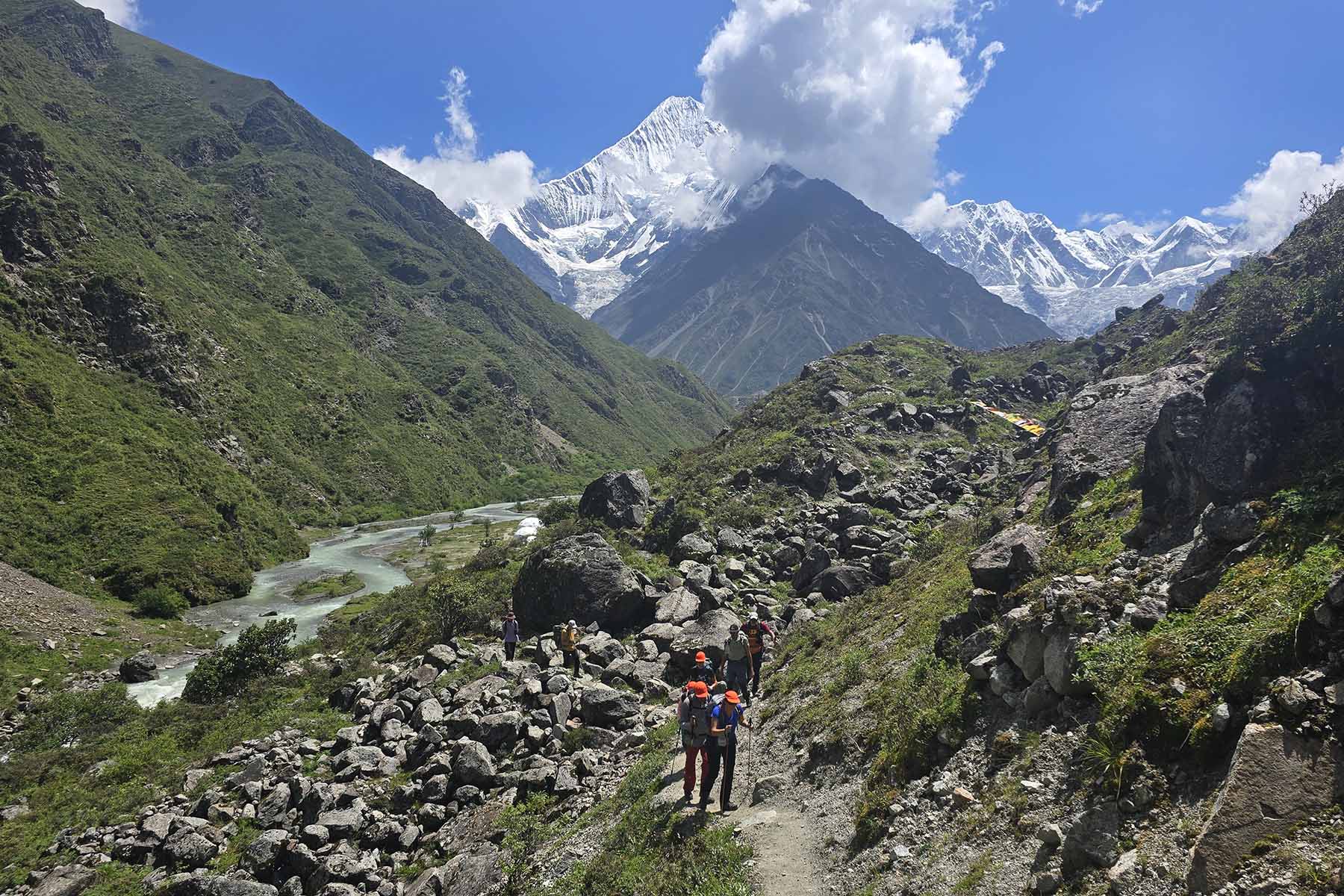
Minya Konka Basecamp Trek
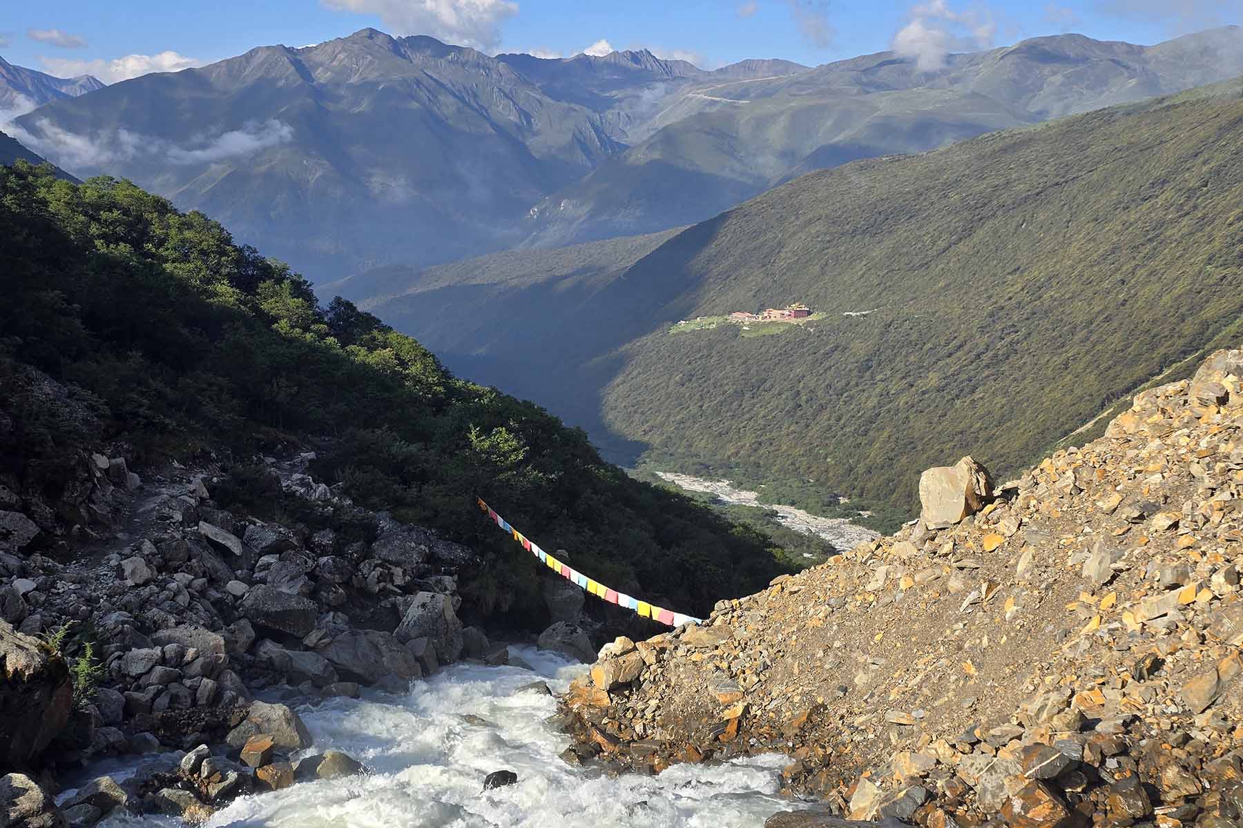
Gongga Trek
In the morning leave the monastery and retrace the track we walked two days ago. Trek ends in Tsemed Village after around 3 hours. From Tsemed we use a local car to transfer to Shanmuju en route catch a panoramic views of Minya Konka at Tsemed Pass. The drive takes around 1.5 hours total. The drive is on basic country road. Driver needs to drive carefully and use chains in icy seasons. After arrive in Shangmuju we switch car to drive for another 40 minutes to the base of Langgatso Lake. In the afternoon start to walk to Langgatso, a lake that is 3.5km away from the car park. Langgatso is one of the lakes here that is perfect for photo lovers. As we ascend we will see mountains of the west range of Minya Konka. Horse-riding is availale by Langgatso. You can consider to hire a horse to take you up to the lake if you don't feel like walking. Today you will also see other hikers doing this hiking because it is considered a popular adventure hike but still not many people comparing to other tourist parks. Starting of Langgatso Lake hike is at 4000m while end of the hiking by the lake is at 4500m. It is still a big ascent to cover in half day even though the distance is not so far. After a short stay by the lake walk back to the base and drive to tonight's overnight place in Shangmuju.
Total walking 7+7km between 3800m and 4500m, Medium to Challenging pace.
Overnight hotel by 3800m.

Lenggatso in Winter
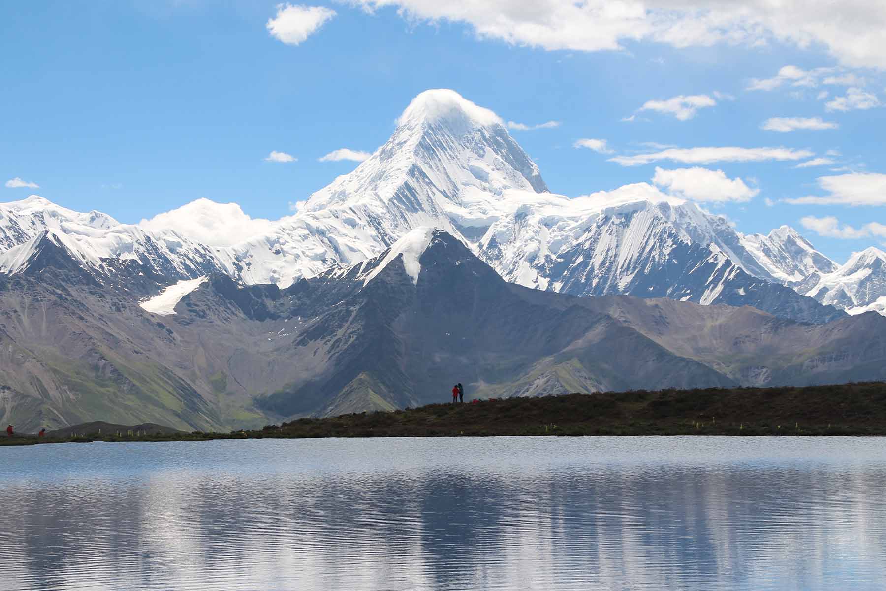
Lenggatso in Summer
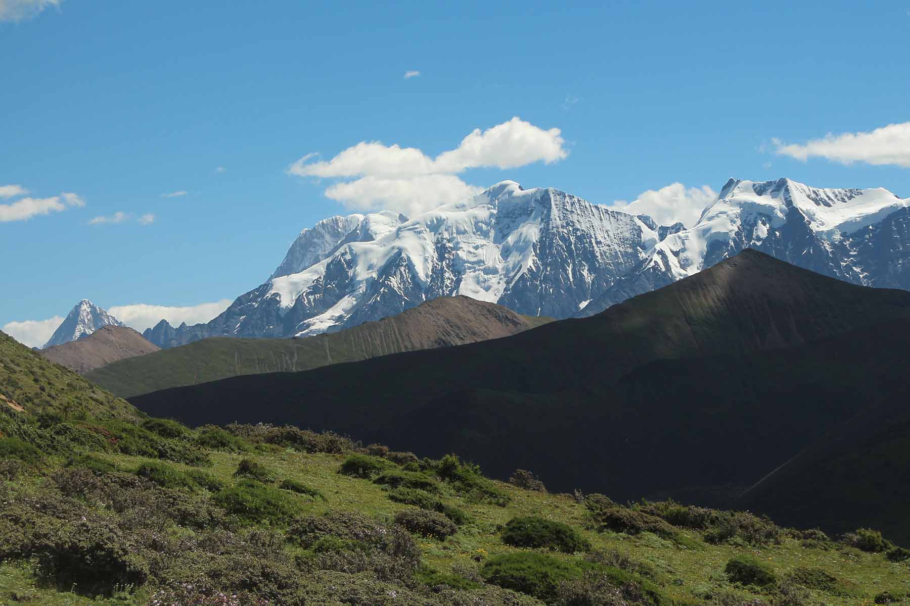
Minya Konka West
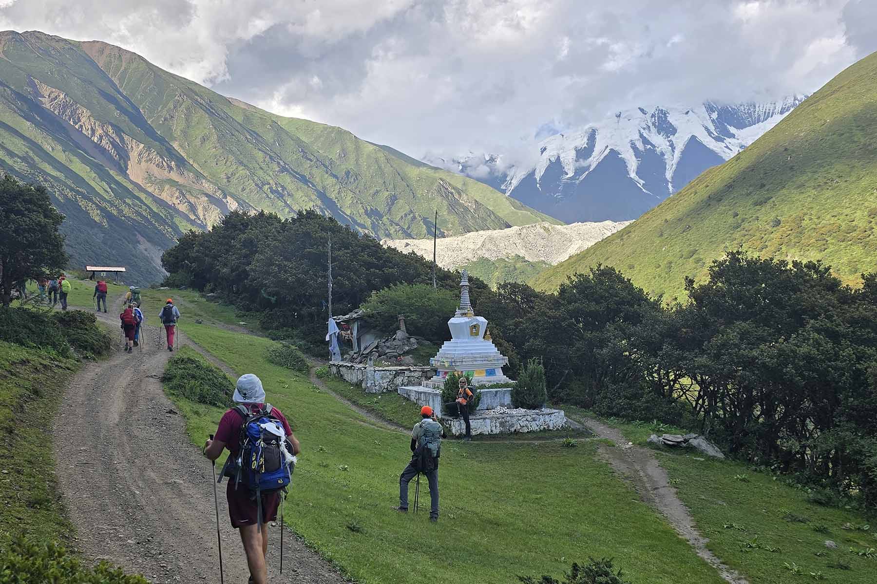
Hiking to Gongga Gompa
In the morning we will first go to Quanhuatan, the calcium lakes of Minya Konka to walk up and take more photos. There is also walking involved. Total walking for around 1 hour to get to the first group of lakes and then another 40 minutes to the next group of lakes. The calcium lake is called Quanhuatan by local people. They are groups of small calcified cascading lakes on the side of the mountain above Yulongxi. Leave Quanhuatan before 13:00 to go to Kangding and en route a stop by Zheduoshan Road pass.
Driving 6 hours; Visit/walk:3h; Medium pace
Overnight by 2600m.

Quanhuatan Drone Shot

Over Calcium Lake
In the morning you will also start by a short car ride to Laoyulin Village for around 15 minutes and switch to local transfer for another 30 minutes drive to road head. The loca transfer is necessary as the lst bit of road is not a good road that is usually muddy and bumpy. Local drivers know the road well. Hiking starts by road end at Gexi Camp at around 3600m.
We have great views of Lamoshe mountain behind us from Gexi. The valley we walk is called Riuqi Valley that extends to around 25km southwards. Today we will cover the first 6 to 10km and come back. The walking starts by gradual ascent by the riverside with pine forest and mountains around us. After cross the river we will pass by a red rock slide before we ascend a small section of steep part and then we get more open views of the valley and mountains around us. Today's walking is rather medium and flexible. Riuqi is a wild and beautiful valley with views of snow mountains and flowing river. Flexible medium walking distance between 8km to 20km for around 5-8 hours. Today;s walking will be total mountain trail that is safe and easy to navigate. Unlike many other well-maintained parks this place is a total wild land of nature. Since the valley goes on for over 20km we will return at the furthest at the 10km place by Liangcha, making total walking to 20km, which is considered a lot of walking for one day at such altitude. Although this hiking is set to be flexible so we can turn back at any point of the hiking. We recommend to at least walk the first 3km.
Driving 1 hour; Walk:6-20km; Medium pace
Overnight by 2600m.

Kangding Riuqi Hiking

Beautiful Lamoshe Mountains

Kangding Hiking

Riuqi Valley
In the morning we will start from Chengdu and drive back to Chengdu. We will arrive at your hotel in Chengdu in early afternoon, your western Sichuan adventure tour ends. Say goodbye to your guide and driver and go home with good memories. Tour ends in Chengdu.
Driving 4 hours; Easy pace
This tour is customizable.
This trip is available only during certain time of the year due to availability on guide.
Elevation at most of these sights are quite high as much to 4500 meters. Precautions for mountain sickness are necessary.
Traveling to the listed places will expect lower standard services at hotels and restaurants even if they maybe the best choices. The service level is not as up to what you have in places like Chengdu. The hotel people don't speak English nor do the people from restaurants. These places are quite far, wild but beautiful. As authenticity comes often with less comfortability. Public Toilet are bad. Food are with limited options at most of the places.
This tour involves walking at high altitude at over 3000m or 4000m, people with cardiac-related conditions, cerebrovascular disease, hypertension, arrhythmia, respiratory diseases, obstructive pulmonary diseases (bronchial asthma, bronchiectasis, emphysema, active tuberculosis, pneumoconiosis), pregnant women and people who have been diagnosed with high altitude pulmonary edema, high altitude cerebral edema, high altitude hypertension, high altitude heart disease, and high altitude polycythemia are not recommended to do this trip.
Please complete belowing form and submit it. Our staffs will contact you as soon as after we receiving your inquiry.