From Rilong to Dajianbao it is 8km and from Dajianbao to Dafeng Base Camp is 6km. From Dajianbao to Laoniu Yuanzi is 3km and from Laoniu Yuanzi to Huahaizi is 4km. From Laoniu Yuanzi to Dafeng Base Camp is around 5km. From Base Camp to the summit is around 2.5km steep terrain.

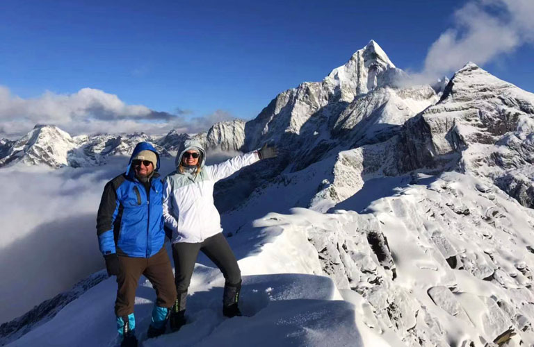
From entrance of Haizi Valley to base camp of Dafeng, the first half of walking is easier as it is not steep. After the ranger's post at Dajianbao the trail becomes steep all the way to base camp. Entrance of Haizi Valley is at 3200 meters and base camp is at 4300 meters. Summit of Dafeng is at 5025 meters. After base camp and before summit, the trail is basically very rocky but a simple handrail is set up, making the walking much safer. At the summit of Dafeng, the view is spectacular!
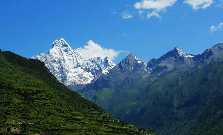
There are basically two kinds of trails you will experience during a Mount Siguniang Dafeng Trekking. First one is the trail at lower elevation where you may see bushes and grass. These trails are recognizable but muddy after rain. The second kind of trail is at high elevation generally after the base camp or at places with elevation over 4000 meters. These trails are made out on the rocks. Although many hikers use these trails very often but you are suggested to have a local guide with you for this part because the snow may cover the trail and at such elevation the snow stays for a long time. The trail to the summit is not difficult in terms of trail conditions. There are shortcuts made by former hikers but it is better to walk the usual trail for safety reasons. For the days of hiking at Mount Siguniang, you will see stunning views of beautiful peaks for most of the time whilst hiking.
 This is the trail after Dafeng Base Camp to the summit. It is in early May. You can see the trail is covered by snow. Altitude at here is around 4600 meters.
 Trail at around 3600 meters before Dajianbao. It is quite flat and easy to walk.
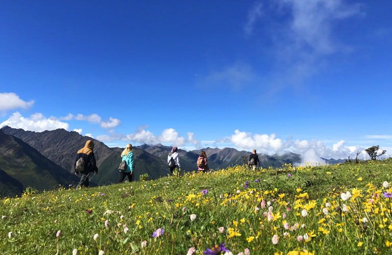
 Trail after Jipengzi at around 4000m. This photo is taken in summer. You can see it is very green everywhere even at 4000 meters. The trail gets very muddy during rainny days.
 Hiking Trail just below the summit at around 5000 meters. This photo is taken in summer, in other seasons it will be covered by snow.
 Walking path after the saddle section at around 4800 meters. Note this is also in summer time when there are no snow around. The big drop on the side is fenced with a simple handrail.
 Same section as the above photo but in spring time in May. In October and November when weather is not good it can also be like this.
 Going down from the saddle at the altitude of around 4700 meters. This section is without handrail and very steep.
 Looking down from around 4900 meters. The far end of the handrailed trail is the saddle. This photo is taken in late October.
 Half of Dafeng Hiking Trail will be like this during or after rainy or snowing days. And you never know if you will experience this kind of weather or not.

Route: Chengdu - Mount Siguniang

Route: Chengdu - Mount Siguniang

Route: Chengdu - Mount Siguniang